Enable Location

We need your location to show you interesting places around you

Discover nearby places

Find interesting locations and hidden gems around you

Precise directions

Get accurate directions and distances to places

Your location is never shared with other users. It's only used when you tap the location button.

Oberhavel District

Log in to your account

Start exploring — it's free

Trusted by 62,833 travelers worldwide

Continue with Google
Continue with Apple
or

We will send you a code to connect

By continuing, you accept our Terms and Conditions and our Privacy Policy

Check your inbox

We've sent a pincode in your inbox. Please enter the code below.

Oberhavel District, Rural district in Brandenburg, Germany

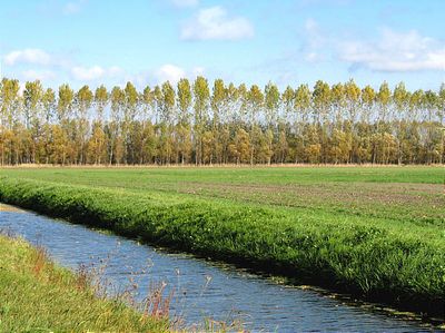
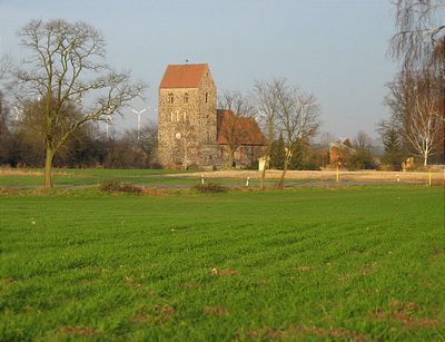
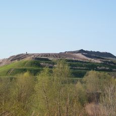
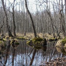
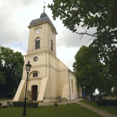
Oberhavel district is a rural area in northeastern Brandenburg that contains numerous lakes, forests, and small towns spread across its landscape. The region sits between Berlin and Mecklenburg-Western Pomerania, forming a transition zone between urban and natural spaces.

The district was created in 1993 when two former administrative areas, Gransee and Oranienburg, were merged together. This reorganization shaped the region's current structure and governance within Brandenburg.

The district's coat of arms features an eagle representing Brandenburg and two swans against green, reflecting the natural elements of the numerous lakes in this region.

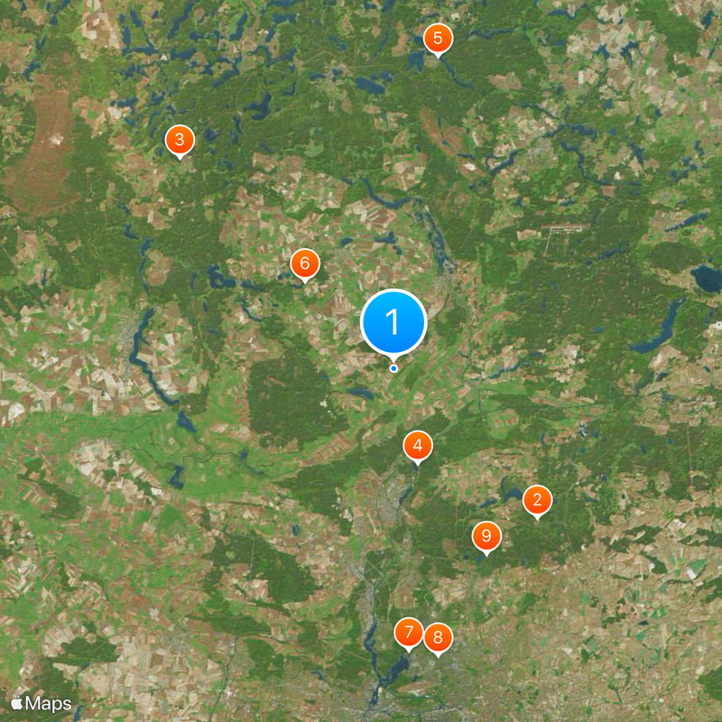
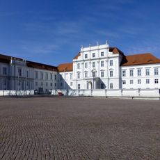
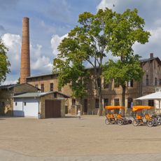
Oranienburg serves as the administrative center and main hub for reaching different parts of the district. The area is best explored by car, though walking and water activities around the lakes are popular ways to experience the landscape.

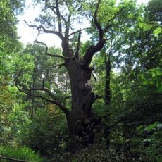
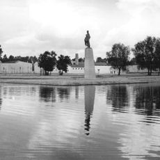
The Großer Stechlinsee in the northern part appears in Theodor Fontane's novels and remains a notable landmark for visitors exploring the area. The literary connection adds a layer of cultural interest to this natural site.

The community of curious travelers

AroundUs brings together thousands of curated places, local tips, and hidden gems, enriched daily by 60,000 contributors worldwide.

Start exploring
Location
Inception
1993
Capital city
Oranienburg
Elevation above the sea
67 m
Shares border with
Berlin, Uckermark District, Havelland District, Ostprignitz-Ruppin District, Barnim District, Mecklenburgische Seenplatte District
GPS coordinates
52.88333,13.25000
Latest update
December 14, 2025 19:40
« Oberhavel District - Rural district in Brandenburg, Germany » is provided by Around Us (aroundus.com). Images and texts are derived from Wikimedia project under a Creative Commons license. You are allowed to copy, distribute, and modify copies of this page, under the conditions set by the license, as long as this note is clearly visible.

Discover hidden gems everywhere you go!

From secret cafés to breathtaking viewpoints, skip the crowded tourist spots and find places that match your style. Our app makes it easy with voice search, smart filtering, route optimization, and insider tips from travelers worldwide. Download now for the complete mobile experience.

Around Us App Screenshot

A unique approach to discovering new places

Le Figaro

All the places worth exploring

France Info

A tailor-made excursion in just a few clicks

20 Minutes

Around Us
Travel Guide & Maps
Download

Send to your phone

QR Code
1

Open the camera app on your mobile.

2

Point at the QR code with your camera. A notification will appear.

3

Tap the notification to open the link.