
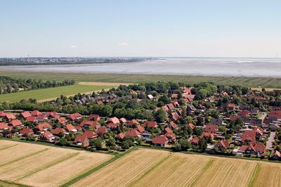
Cäciliengroden, human settlement in Germany
Location: Sande
Elevation above the sea: 2 m
GPS coordinates: 53.48470,8.04639
Latest update: April 17, 2025 19:44
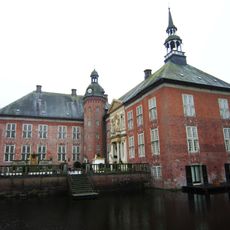
Schloß Gödens
5.4 km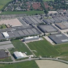
Naval Support Command (Germany)
4.7 km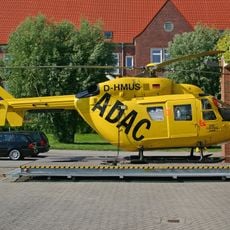
Christoph 26
3.4 km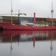
Light Vessel Weser
5.3 km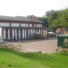
Pumpwerk (Wilhelmshaven)
5.5 km
Banter Kirche
5.4 km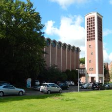
St. Marien
5.7 km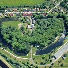
Fort Mariensiel
3.2 km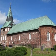
St.-Magnus-Kirche
3 km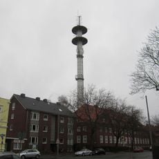
Fernmeldeturm Wilhelmshaven
5.8 km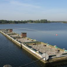
Lake Bant tern colony
4.9 km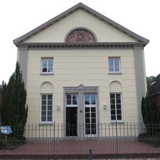
Synagogue (Neustadtgödens)
3.8 km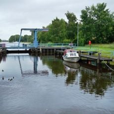
Mariensiel lock
3.5 km
Bordumer Busch
3.1 km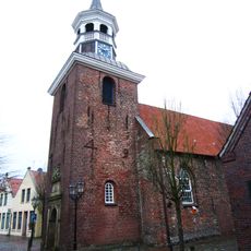
Lutherische Kirche
3.8 km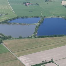
Sandentnahmestelle Neustadtgödens
4.3 km
Teichfledermausgewässer
3.2 km
Strandbad Klein Wangerooge
4.2 km
Vom Ort gen ...
5.3 km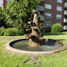
Europaring fountain
5.4 km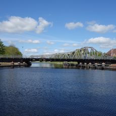
Deichbrücke
5.7 km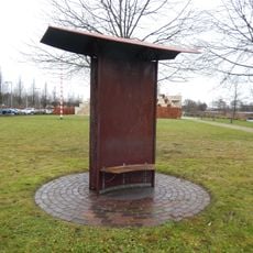
Aeolian harp
5.4 km
Gotthilf Hagen memorial
5.8 km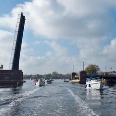
Rüstringen bridge
4.3 km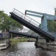
Sanderbusch road bridge
3.7 km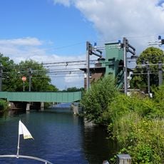
Mariensiel railway bridge
3.3 km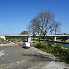
Sande railway bridge
3.2 km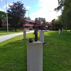
Kommunikation
2.9 kmReviews
Visited this place? Tap the stars to rate it and share your experience / photos with the community! Try now! You can cancel it anytime.
Discover hidden gems everywhere you go!
From secret cafés to breathtaking viewpoints, skip the crowded tourist spots and find places that match your style. Our app makes it easy with voice search, smart filtering, route optimization, and insider tips from travelers worldwide. Download now for the complete mobile experience.

A unique approach to discovering new places❞
— Le Figaro
All the places worth exploring❞
— France Info
A tailor-made excursion in just a few clicks❞
— 20 Minutes