
Stelborner Klippen, protected area in the European Union defined by the habitats directive in Nordrhein-Westfalen, Germany
Location: Kirchhundem
Inception: 1999
GPS coordinates: 51.10044,8.16383
Latest update: May 15, 2025 07:03
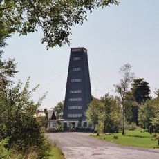
Rhein-Weser-Turm
4 km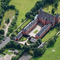
Schloss Adolfsburg
1.7 km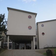
Gymnasium der Stadt Lennestadt
6.6 km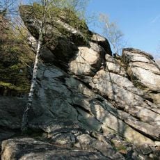
Rinsleyfelsen
3.2 km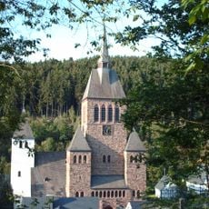
St. Peter und Paul
5.3 km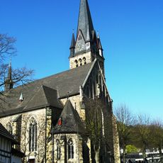
St. Agatha
6.3 km
Himberg
4.2 km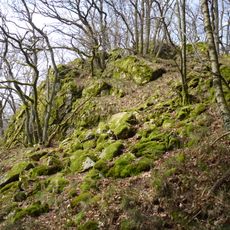
Albaumer Klippen
5.1 km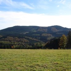
Hoher Lehnberg
4 km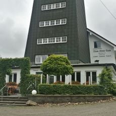
Rhein-Weser-Turm
4 km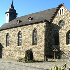
St. Johannes Baptist
3.7 km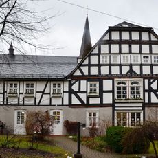
Stickereimuseum Oberhundem
1.8 km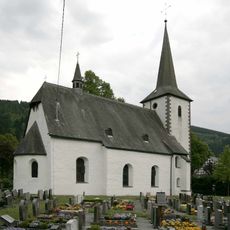
St. Vinzentius (Lenne)
5.4 km
Wallburg Kahle
6.6 km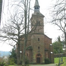
Protestant Church Altenhundem
6.8 km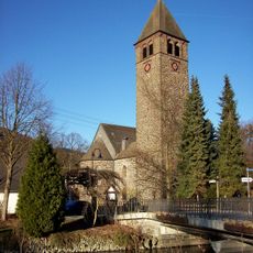
St. Jodokus
1.9 km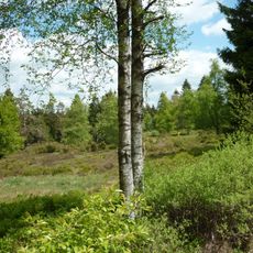
Schwarzbachsystem mit Haberg und Krenkeltal
6.1 km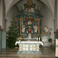
St. Katharina
6.9 km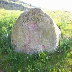
Goldstein
4.1 km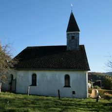
St. Hubertus und St. Antonius Abt
6.7 km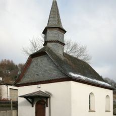
Kapelle St. Barbara
7 km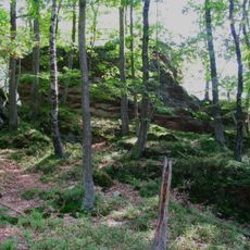
Stelborner Klippen
111 m
Bärenloch
3 km
St. Peter und Paul
6.5 km
Schluchtwald bei Hundesossen
4.2 km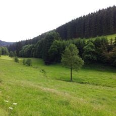
Üntrop
6.6 km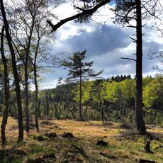
Krähenpfuhl
5.8 km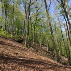
Rennacken
2.3 kmReviews
Visited this place? Tap the stars to rate it and share your experience / photos with the community! Try now! You can cancel it anytime.
Discover hidden gems everywhere you go!
From secret cafés to breathtaking viewpoints, skip the crowded tourist spots and find places that match your style. Our app makes it easy with voice search, smart filtering, route optimization, and insider tips from travelers worldwide. Download now for the complete mobile experience.

A unique approach to discovering new places❞
— Le Figaro
All the places worth exploring❞
— France Info
A tailor-made excursion in just a few clicks❞
— 20 Minutes