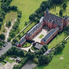
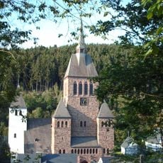
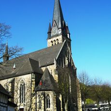
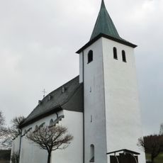
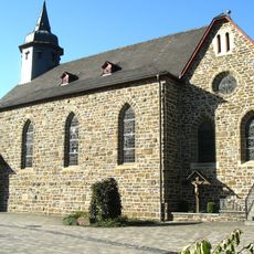
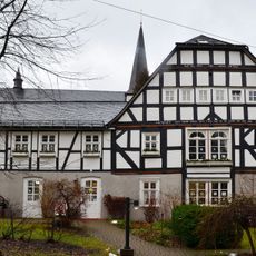
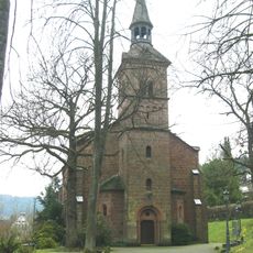
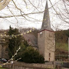
Kirchhundem, municipality in North Rhine-Westphalia, Germany
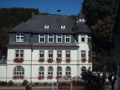
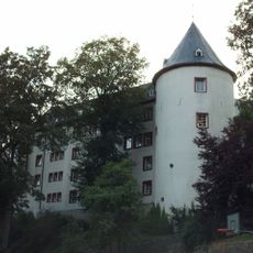
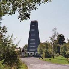
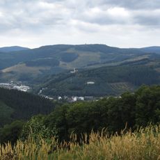
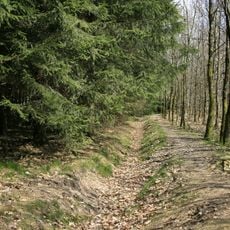
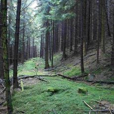
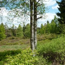
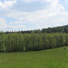
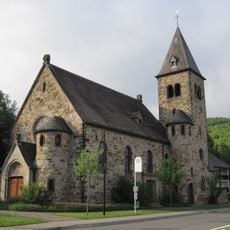
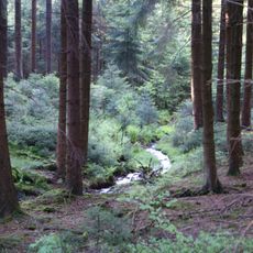
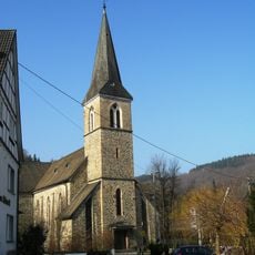
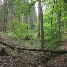
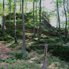
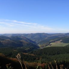
Kirchhundem is a small municipality in Kreis Olpe, shaped by low houses with sloped roofs, tended gardens, and narrow roads winding through the landscape. The buildings display local construction with stone and wood, while the surroundings feature green fields, forests, and nearby farms.
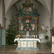
Kirchhundem has roots reaching back several centuries, with origins in medieval times when local communities lived and worked here. The town retained its rural character and traditional structure across the centuries, as agricultural life shaped the community.
The town keeps its traditions alive through local festivals and markets where residents gather to celebrate together. These events show how history and community remain woven into everyday life here.
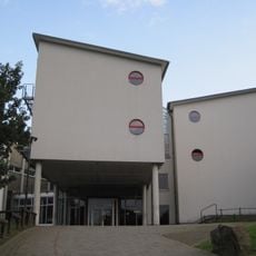
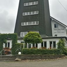
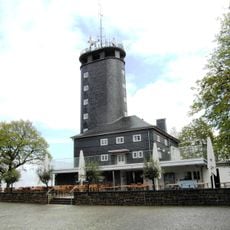
The town is best explored on foot or by bicycle to fully experience its slow pace and friendly surroundings. The place offers local services, shops, and information points that meet everyday needs and are easily accessible.
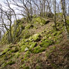
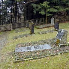
Many old stones and plaques around the village tell stories of generations who lived and worked here over the centuries. These traces of the past are often overlooked by visitors but reveal the deep connection between people and the land.
The community of curious travelers
AroundUs brings together thousands of curated places, local tips, and hidden gems, enriched daily by 60,000 contributors worldwide.