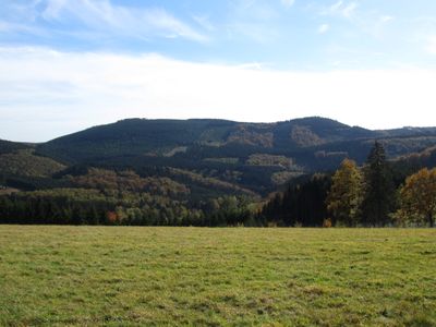
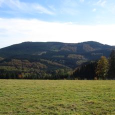
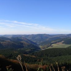
Hoher Lehnberg, Mountain summit in Kreis Olpe, Germany
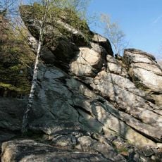
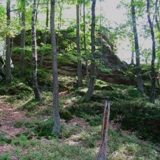
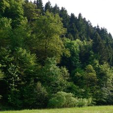
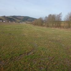
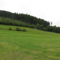
Hoher Lehnberg is a mountain summit reaching about 669 meters in elevation within Kreis Olpe, surrounded by dense forest and natural rock outcrops. Multiple marked trails approach the summit from different directions, making it accessible to walkers of various abilities.
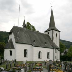
The summit bears traces of ancient fortification walls and defensive ditches that suggest a former stronghold once occupied this location. These remains indicate that the site held strategic importance for protection and territorial control in earlier times.
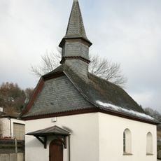
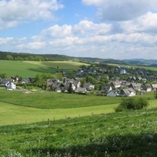
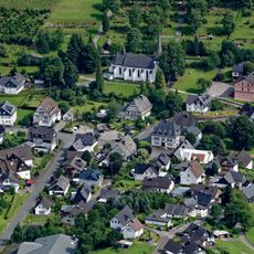
The area around the summit is shaped by hiking trails that have been part of local tradition for generations. Visitors today follow the same routes that connect the mountain to nearby communities and regional walking culture.
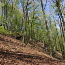
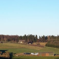
The terrain is best accessed during dry conditions, as paths can become slippery in wet weather. Sturdy footwear and plenty of water are essential, particularly if walking from the parking areas in Saalhausen or Bracht to the summit.
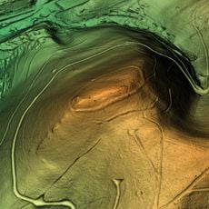
The northeastern slope hosts the Lehnborn spring, a water source protected as a natural monument. This hidden water feature feeds a stream system and reveals how geology shapes the landscape around the mountain.
The community of curious travelers
AroundUs brings together thousands of curated places, local tips, and hidden gems, enriched daily by 60,000 contributors worldwide.