Enable Location

We need your location to show you interesting places around you

Discover nearby places

Find interesting locations and hidden gems around you

Precise directions

Get accurate directions and distances to places

Your location is never shared with other users. It's only used when you tap the location button.

Rinsleyfelsen

Log in to your account

Start exploring — it's free

Trusted by 62,878 travelers worldwide

Continue with Google
Continue with Apple
or

We will send you a code to connect

By continuing, you accept our Terms and Conditions and our Privacy Policy

Check your inbox

We've sent a pincode in your inbox. Please enter the code below.

Rinsleyfelsen

Rinsleyfelsen, natural monument

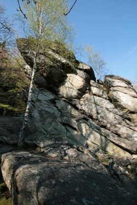
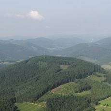
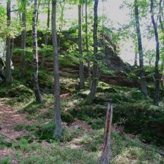
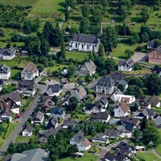
Rinsleyfelsen is a rock formation that rises prominently above the surrounding trees on the southern slope of Rinsenberg, near the village of Saalhausen in Lennestadt. The main outcrop stands approximately 15 to 20 meters high with a jagged, rough surface and features a summit cross visible from a distance.

The rock formation was created approximately 400 million years ago during volcanic activity in a prehistoric sea and consists of volcanic ash and crystal-rich tuffs. Over countless centuries, wind and rain gradually shaped the stone into the jagged peaks and ledges visible today.

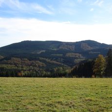
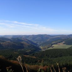
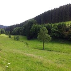
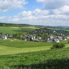
The rocks are known to locals as a defining landmark of their region and are regularly visited by families and hikers seeking a quiet outdoor experience. People often gather here to walk, take photographs, or simply spend time surrounded by the forested hillsides.

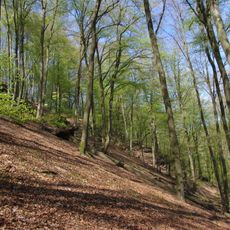
The site is easily accessible by car with parking areas nearby for visitors and can be reached via marked hiking trails from Saalhausen and the Gleietal valley. A safety handrail has been installed along the most exposed sections to aid with navigation and climbing.

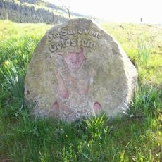
Many visitors photograph the rocks at different times of day, particularly at sunrise or sunset when the light creates dramatic shifts in how the stone surfaces appear. Local legends also speak of a hidden cave nearby that can be explored on special occasions.

The community of curious travelers

AroundUs brings together thousands of curated places, local tips, and hidden gems, enriched daily by 60,000 contributors worldwide.

Start exploring
Location
GPS coordinates
51.12960,8.16350
Latest update
February 9, 2026 11:06
« Rinsleyfelsen - natural monument » is provided by Around Us (aroundus.com). Images and texts are derived from Wikimedia project under a Creative Commons license. You are allowed to copy, distribute, and modify copies of this page, under the conditions set by the license, as long as this note is clearly visible.

Discover hidden gems everywhere you go!

From secret cafés to breathtaking viewpoints, skip the crowded tourist spots and find places that match your style. Our app makes it easy with voice search, smart filtering, route optimization, and insider tips from travelers worldwide. Download now for the complete mobile experience.

Around Us App Screenshot

A unique approach to discovering new places

Le Figaro

All the places worth exploring

France Info

A tailor-made excursion in just a few clicks

20 Minutes

Around Us
Travel Guide & Maps
Download

Send to your phone

QR Code
1

Open the camera app on your mobile.

2

Point at the QR code with your camera. A notification will appear.

3

Tap the notification to open the link.