
Uedemer Hochwald, protected area in the European Union defined by the habitats directive in Nordrhein-Westfalen, Germany
Location: Uedem
Inception: 1999
GPS coordinates: 51.67284,6.35841
Latest update: June 10, 2025 20:28
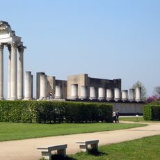
Colonia Ulpia Traiana
6.4 km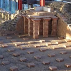
LVR-Archäologischer Park Xanten
5.7 km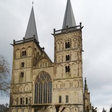
St. Viktor
6.6 km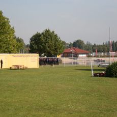
Freizeitzentrum Xanten
5.3 km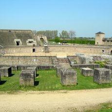
Amphitheatre of Xanten
6.5 km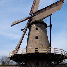
Kriemhildmühle
6.4 km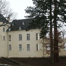
Burg Boetzelaer
6.3 km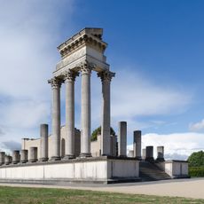
Reconstructed Roman harbour temple (APX)
6.1 km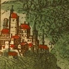
Burg Monterberg
6.6 km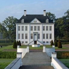
Haus Kolk
4.1 km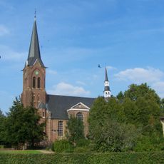
Sankt Mariä Himmelfahrt
3.2 km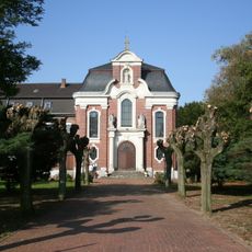
Kloster Mörmter
3.3 km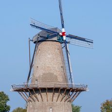
Siegfriedmühle
5.9 km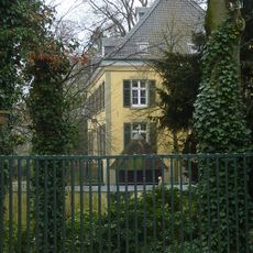
Haus Balken
3 km
Xanten Chapter Museum
6.6 km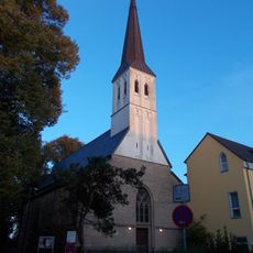
Sankt Gerebernus
6.5 km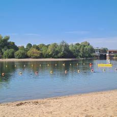
Strandbad
5.7 km
Abbey library of Xanten
6.7 km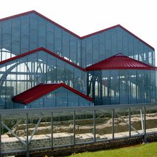
Thermae in Xanten
5.7 km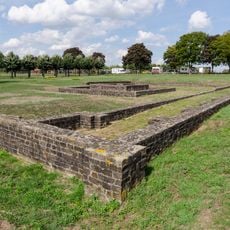
Matronentempel Xanten
6 km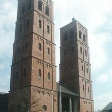
St. Laurentius
5.9 km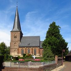
Saint Willibrord Church
5.5 km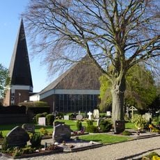
St. Lambertus
5.7 km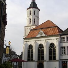
Evangelische Kirche Xanten
6.7 km
Haus Erprath (Xanten)
5.7 km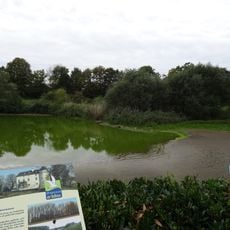
Botzelaerer Meer
6.7 km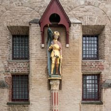
St.-Viktor-Statue
6.6 km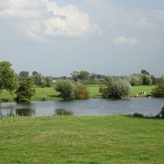
LSG VO Kleve
5.5 kmReviews
Visited this place? Tap the stars to rate it and share your experience / photos with the community! Try now! You can cancel it anytime.
Discover hidden gems everywhere you go!
From secret cafés to breathtaking viewpoints, skip the crowded tourist spots and find places that match your style. Our app makes it easy with voice search, smart filtering, route optimization, and insider tips from travelers worldwide. Download now for the complete mobile experience.

A unique approach to discovering new places❞
— Le Figaro
All the places worth exploring❞
— France Info
A tailor-made excursion in just a few clicks❞
— 20 Minutes