Wälder um Welver, protected area in the European Union defined by the habitats directive in Nordrhein-Westfalen, Germany
Location: Welver
Inception: 2000
GPS coordinates: 51.62300,7.97161
Latest update: November 24, 2023 23:44

Zisterzienserinnenkloster Welver
431 m
Sengerhof
2.5 km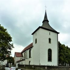
St. Albanus und Cyriakus
408 m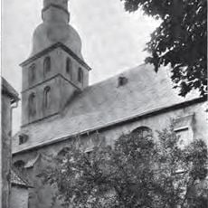
St. Bernhard
403 m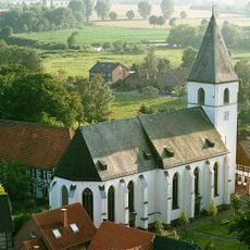
St. Othmar (Dinker)
2.2 km
Haus Meyerich
2.3 km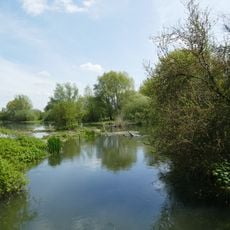
Ahse bei Dinker
1.7 km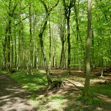
Wälder um Welver
521 m
Salzbach-Mittellauf mit Bewerbach
2.4 km
Mittlerer Salzbach
2.5 km
LSG-Am Welveraner Wald
2.4 km
LSG-Hachenbruch
1.7 km
Hachenbruch
1.7 km
Überführung der L747
1.3 km
Ehrenmal
2.3 km
Wayside shrine
482 m
Memorial stone, memorial
481 m
Ehrenmal Klotingen
2.1 km
Glocke
480 m
Ehrenmal Schlacht bei Völlinghausen
2.2 km
Memorial
826 m
Kloster der Zisterzienserinnen zu Welver um 1700
451 m
Wayside shrine
406 m
Ehrenmal
378 m
Nördlicher Brückenkopf
2.4 km
Südlicher Brückenkopf
2.4 km
Ehrenmal
371 m
Jubiläumsstein
221 mReviews
Visited this place? Tap the stars to rate it and share your experience / photos with the community! Try now! You can cancel it anytime.
Discover hidden gems everywhere you go!
From secret cafés to breathtaking viewpoints, skip the crowded tourist spots and find places that match your style. Our app makes it easy with voice search, smart filtering, route optimization, and insider tips from travelers worldwide. Download now for the complete mobile experience.

A unique approach to discovering new places❞
— Le Figaro
All the places worth exploring❞
— France Info
A tailor-made excursion in just a few clicks❞
— 20 Minutes