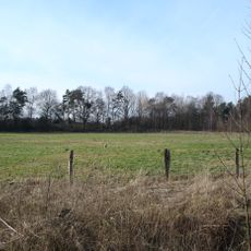
Hölter Feld, nature reserve in Germany
Location: Ladbergen
Inception: 1985
GPS coordinates: 52.10710,7.75723
Latest update: November 21, 2025 14:42
Hüttruper Heide
4.1 km
Gut Erpenbeck
4.4 km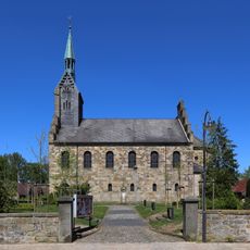
Protestant Church, Ladbergen
3.3 km
Herz-Jesu-Kirche
3.5 km
LSG-Kattmannskamp
3 km
Wald- / Heidekomplex Brüskenheide
3.9 km
LSG-Oberer Eltingmuehlenbach
3.7 km
Im Tannenkamp
4.6 km
LSG-Parklandschaft Brueskenheide
3.6 km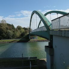
Schulze-Farwick-Brücke Nr. 100
4 km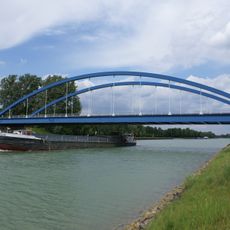
Schmedehausener Brücke Nr. 98
3.7 km
Ladbergener Grenz-Brücke Nr. 99
3.3 km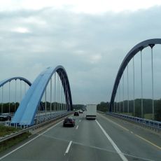
Ladbergener highway bridge No. 99a
3.6 km
Amme
3.4 km
Catholic church building, wayside cross, Christianity
4.7 km
Torfstecher
3.4 km
Maria mit Kind
3.9 km
Gott mit uns!
4.3 km
Kriegerdenkmal Hölter
3.8 km
Wayside cross
4 km
GC Ladbergen
3 km
Memorial, commemorative plaque
2.5 km
1000-Jahr-Stein
3.4 km
1000 Jahre Schmedehausen 953 - 1953
3.9 km
Christianity, Catholic church building, wayside cross
4.8 km
Catholic church building, wayside cross, Christianity
4.3 km
Wayside cross, Christianity, Catholic church building
4 km
Erster westfälischer Städtebund
3.6 kmReviews
Visited this place? Tap the stars to rate it and share your experience / photos with the community! Try now! You can cancel it anytime.
Discover hidden gems everywhere you go!
From secret cafés to breathtaking viewpoints, skip the crowded tourist spots and find places that match your style. Our app makes it easy with voice search, smart filtering, route optimization, and insider tips from travelers worldwide. Download now for the complete mobile experience.

A unique approach to discovering new places❞
— Le Figaro
All the places worth exploring❞
— France Info
A tailor-made excursion in just a few clicks❞
— 20 Minutes