Amme
Location: Ladbergen
Made from material: metal
GPS coordinates: 52.13549,7.74067
Latest update: November 21, 2025 14:36
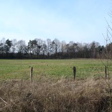
Hüttruper Heide
3 km
Gut Erpenbeck
4.6 km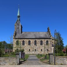
Protestant Church, Ladbergen
267 m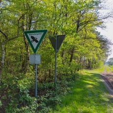
In den Hiärken
4.6 km
Hölter Feld
3.4 km
Im Tannenkamp
2.2 km
LSG-Elting,- Ladberger Muehlenbach und Glane
2.5 km
Feuchtwiese im Schinkenort
3.6 km
Ladberger Mühlenbach
3.6 km
Eltingmühlenbach
4.1 km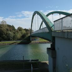
Schulze-Farwick-Brücke Nr. 100
2.4 km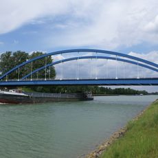
Schmedehausener Brücke Nr. 98
4.7 km
Ladbergener Grenz-Brücke Nr. 99
3.2 km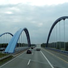
Ladbergener highway bridge No. 99a
2.7 km
GC Ladbergen
2.3 km
TURM
3.3 km
Torfstecher
8 m
Maria mit Kind
4.7 km
Work of art, sculpture
3.4 km
Besucherausblick
4.1 km
Scenic viewpoint, beer garden
4.2 km
Wayside shrine
4.5 km
Kriegerdenkmal Hölter
3.6 km
Wayside cross, Christianity, Catholic church building
4.3 km
Memorial, commemorative plaque
1.9 km
1000-Jahr-Stein
235 m
Jauchzender Bote 1648
4.6 km
Erster westfälischer Städtebund
284 mReviews
Visited this place? Tap the stars to rate it and share your experience / photos with the community! Try now! You can cancel it anytime.
Discover hidden gems everywhere you go!
From secret cafés to breathtaking viewpoints, skip the crowded tourist spots and find places that match your style. Our app makes it easy with voice search, smart filtering, route optimization, and insider tips from travelers worldwide. Download now for the complete mobile experience.

A unique approach to discovering new places❞
— Le Figaro
All the places worth exploring❞
— France Info
A tailor-made excursion in just a few clicks❞
— 20 Minutes