
Bodenkirchen, municipality of Germany
Location: Landshut
Elevation above the sea: 470 m
Shares border with: Gangkofen, Schalkham, Neumarkt-Sankt Veit, Egglkofen, Schönberg, Oberbergkirchen, Velden, Wurmsham, Vilsbiburg
Website: http://gemeinde-bodenkirchen.de
GPS coordinates: 48.36667,12.36667
Latest update: March 3, 2025 15:17
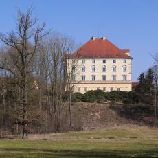
Schloss Egglkofen
7.2 km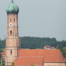
Stadtpfarrkirche Mariä Himmelfahrt
9.5 km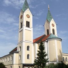
Wallfahrtskirche Maria-Hilf
8.6 km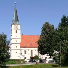
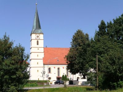
St. Johannes der Täufer
2.5 km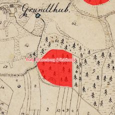
Cultural heritage D-2-7540-0072 in Vilsbiburg
9.9 km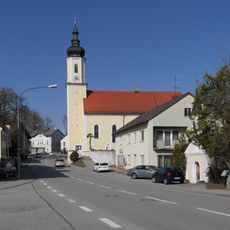
Mariä Himmelfahrt
7 km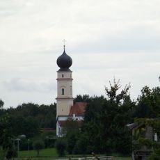
St. Nikolaus
8.6 km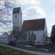
Katholische Kirche Mariä Heimsuchung mit Mauer
9.4 km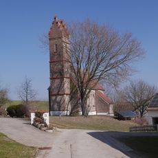
Katholische Kirche Ägidius von St. Gilles
5.8 km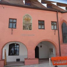
Spitalkirche
9.3 km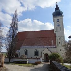
Katholische Pfarrkirche Ulrich von Augsburg
7.2 km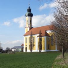
Katholische Kirche Heiland auf dem Berg
9.3 km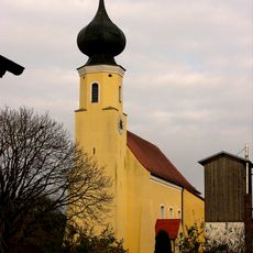
Katholische Pfarrkirche Ulrich von Augsburg
9.2 km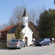
Wieskapelle
7 km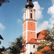
St. Johann Baptist (Haunzenbergersöll)
1.4 km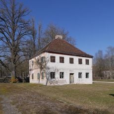
Ehemaliges Kooperatorhaus, dann gräfliches Jägerhaus
7 km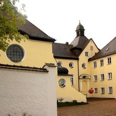
Karmelitinnenkloster mit Kapelle
8.8 km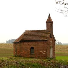
Kapelle
10 km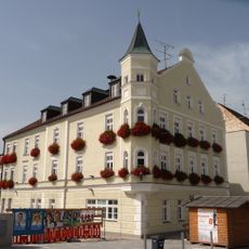
Stadtplatz 26
9.1 km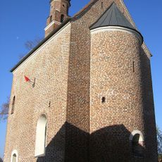
St. Johannes d. T.
8.6 km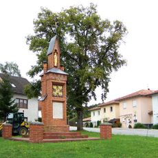
Kriegerdenkmal
9.2 km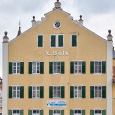
Untere Stadt 15
9.1 km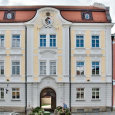
Stadtplatz 30
9.2 km
Traidboden Stadtplatz 28
9.1 km
Landshuter Straße 32
9.4 km
Landshuter Straße 18
9.3 km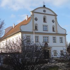
Pfarrhof
9.6 km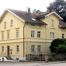
Herrnfeldener Straße 11
9.1 kmReviews
Visited this place? Tap the stars to rate it and share your experience / photos with the community! Try now! You can cancel it anytime.
Discover hidden gems everywhere you go!
From secret cafés to breathtaking viewpoints, skip the crowded tourist spots and find places that match your style. Our app makes it easy with voice search, smart filtering, route optimization, and insider tips from travelers worldwide. Download now for the complete mobile experience.

A unique approach to discovering new places❞
— Le Figaro
All the places worth exploring❞
— France Info
A tailor-made excursion in just a few clicks❞
— 20 Minutes