
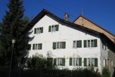
Wohnteil eines ehemaligen Bauernhauses, building in Bad Wörishofen, Swabia, Germany
Location: Bad Wörishofen
Address: Dorfstraße 48a
GPS coordinates: 48.00009,10.64177
Latest update: March 11, 2025 12:06
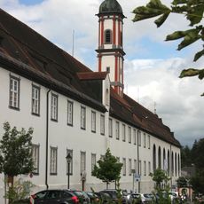
Kloster Wörishofen
3.6 km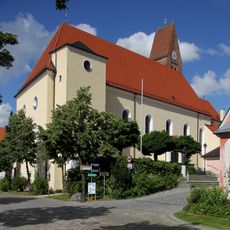
St. Justina
3.6 km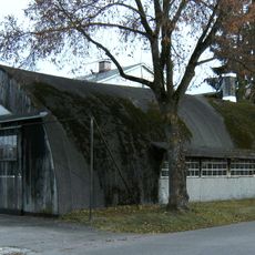
Fliegermuseum Bad Wörishofen
3.2 km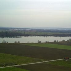
Irsingener See
2.4 km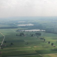
Bingstetter See
1.5 km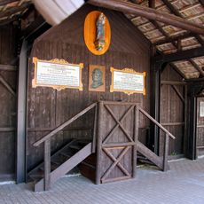
Alte Wandelhalle
3.6 km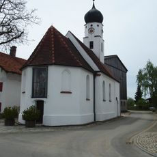
St. Christophorus
2 km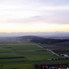
Heisteig
3.1 km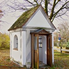
Kerkerkapelle
257 m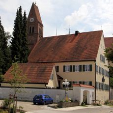
Pfarrhaus
3.6 km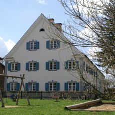
Pfarrhaus
113 m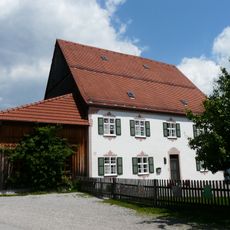
Ehemals Pfarrhaus
2.6 km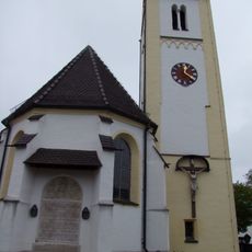
St. Margareta (Irsingen)
3.6 km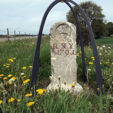
Grenzstein Frankenhofen-Stockheim
1.3 km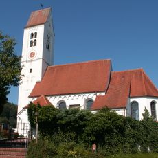
Katholische Pfarrkirche St. Agatha
2.5 km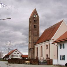
St. Vitus
2.4 km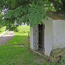
Feldkapelle
3.3 km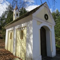
Wegkapelle
2 km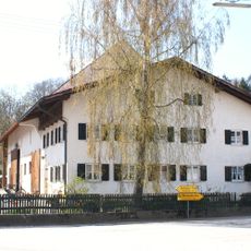
Bauernhaus
2.1 km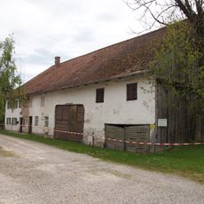
Frankenhofenerstraße 12 (Schlingen)
3.6 km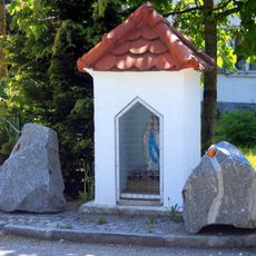
Bildstock
3.6 km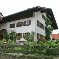
Bauernhaus
2 km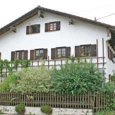
Bauernhaus
2.1 km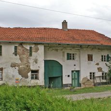
Bauernhaus
2.3 km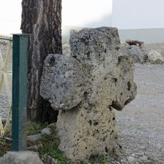
Sühnekreuz
2.2 km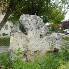
Sühnekreuz
3.4 km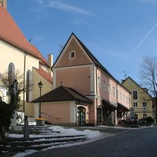
Ehemaliges Amtshaus
3.6 km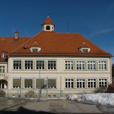
Ehemalige Knabenschule
3.4 kmReviews
Visited this place? Tap the stars to rate it and share your experience / photos with the community! Try now! You can cancel it anytime.
Discover hidden gems everywhere you go!
From secret cafés to breathtaking viewpoints, skip the crowded tourist spots and find places that match your style. Our app makes it easy with voice search, smart filtering, route optimization, and insider tips from travelers worldwide. Download now for the complete mobile experience.

A unique approach to discovering new places❞
— Le Figaro
All the places worth exploring❞
— France Info
A tailor-made excursion in just a few clicks❞
— 20 Minutes