Schafhof, Statistical district in northeast Nuremberg, Germany
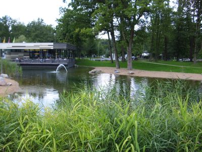
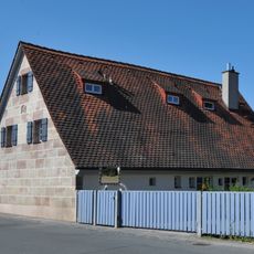
Schafhof is a statistical district in northeast Nuremberg, extending southeast of Äußere Bayreuther Street. It sits between established residential and industrial neighborhoods including Ziegelstein, Erlenstegen, Spitalhof, Klingenhof, Herrnhütte, and Loher Moos.
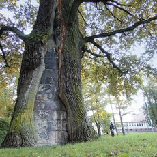
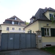
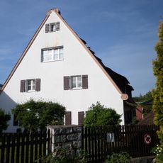
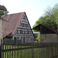
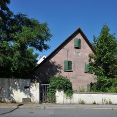
First documented in 1361 as Schefhof, the area came under Nuremberg's control in 1427. Later it suffered major damage during the Margrave Wars and Thirty Years War, shaping its later development.
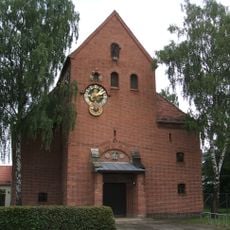
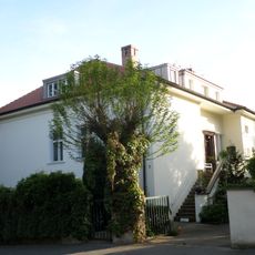
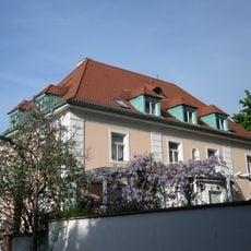
The Gnadenkirche Schafhof, built in half-timbered style, has shaped the district's character since 1951. It serves as a community hub and reflects the residents' connection to local roots.
The area connects to public transportation via Herrnhütte U-Bahn station and Nordostbahnhof. Äußere Bayreuther Street provides direct access to Federal Highway 3, making it easy to reach by train or car.
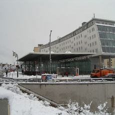
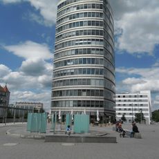
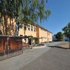
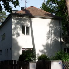
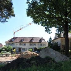
Since 1951 the district has been home to a modern technology park and medical facilities including Clinic 310. This transformation from a small farming settlement of 13 residents in 1824 reveals how quickly Nuremberg expanded in the 20th century.
The community of curious travelers
AroundUs brings together thousands of curated places, local tips, and hidden gems, enriched daily by 60,000 contributors worldwide.