
Babar, Commune in Algeria
Location: Babar District
Elevation above the sea: 1,109 m
Shares border with: Ensigha
GPS coordinates: 35.16917,7.10139
Latest update: April 23, 2025 21:41
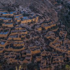
Ghoufi
86.1 km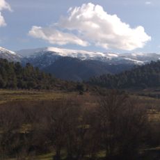
Djebel Chélia
45.4 km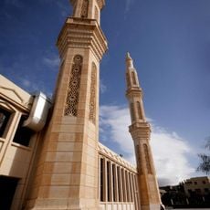
1st November of 1954 Great Mosque
94.6 km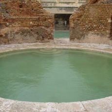
Hammam Essalihine
30.2 km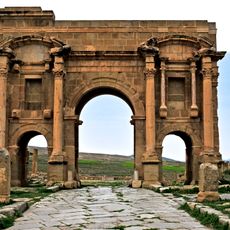
Arch of Trajan
67.5 km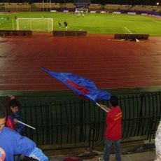
Stade of 1st November 1954
93.5 km
Musée du moudjahid de Batna
91.1 km
Museum of Archaeological site of Timgad
67.4 km
Lompi Family Park
94.6 km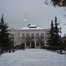
Théâtre Régional de Batna
94.3 km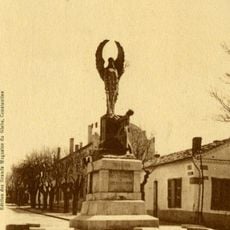
Monument to the dead of Batna
93.8 km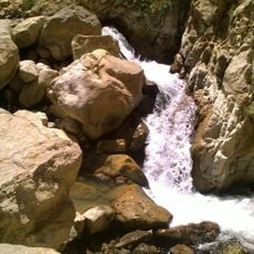
Cascades de Berbaga
81.2 km
École régionale des beaux-arts de Batna
94.1 km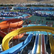
Aquapark
92.4 km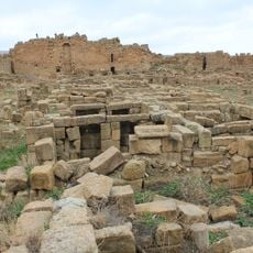
Byzantine Fort in Timgad
67.1 km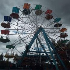
Parc d'attraction Kadri
91.8 km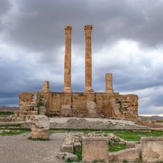
Capitol of Timgad
67.4 km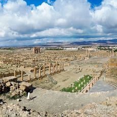
Roman Theatre of Timgad
67.3 km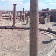
Eastern Market of Timgad
67.3 km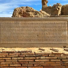
EDCS-27300292
67.3 km
Northeast Algeria
89.6 km
حديقة الحيوانات
78.8 km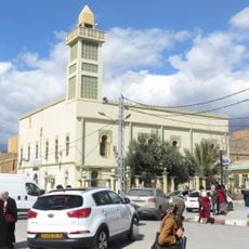
El-Atik mosque of the martyr Tahar Messaouden
94.1 km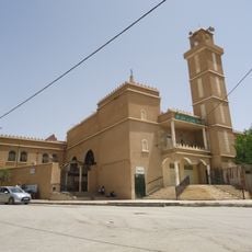
Uthman ibn Affan mosque of Batna
92.2 km
Lambaesis amphitheatre
84.3 km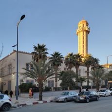
Abdelhamid Ben Badis Mosque (Batna)
94.4 km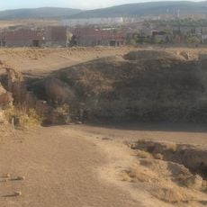
Lambaesis
84.3 km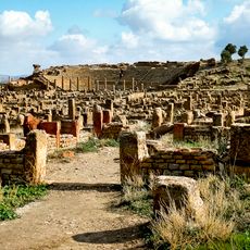
Timgad
67.4 kmReviews
Visited this place? Tap the stars to rate it and share your experience / photos with the community! Try now! You can cancel it anytime.
Discover hidden gems everywhere you go!
From secret cafés to breathtaking viewpoints, skip the crowded tourist spots and find places that match your style. Our app makes it easy with voice search, smart filtering, route optimization, and insider tips from travelers worldwide. Download now for the complete mobile experience.

A unique approach to discovering new places❞
— Le Figaro
All the places worth exploring❞
— France Info
A tailor-made excursion in just a few clicks❞
— 20 Minutes