
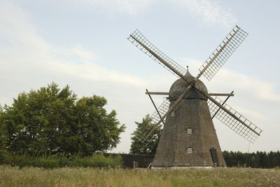
Egå Mølle, bâtiment d'Aarhus, Danemark
Location: Aarhus Municipality
Inception: 1859
GPS coordinates: 56.22985,10.26397
Latest update: March 16, 2025 06:50
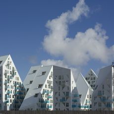
Isbjerget
7.5 km
Lighthouse
7.4 km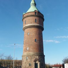
Randersvej water tower
6.7 km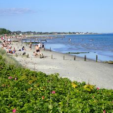
Bellevue Beach
4.5 km
Museum Ovartaci
6.7 km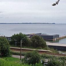
Den Permanente
6.2 km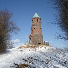
Todbjerg Tower
4.8 km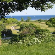
Åkrogen
3.3 km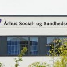
SOSU Aarhus
6.6 km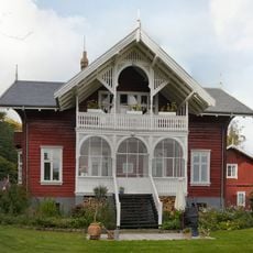
Det Norske Hus
5.8 km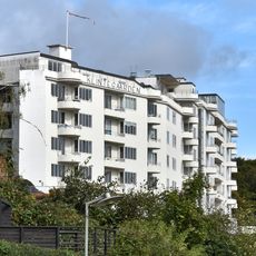
Klintegaarden
7.4 km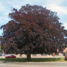
Blodbøgen på Randersvej
6.9 km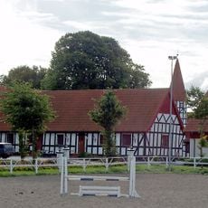
Skårupgård
3.8 km
Skæring Hede
4.4 km
Unity Aarhus
6.7 km
Aarhus Female Seminary
7.4 km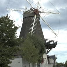
Segalt Mølle
6.6 km
Siloetten
6.1 km
Modelparken Danmark
464 m
Pavillonen, Riis Skov
6.1 km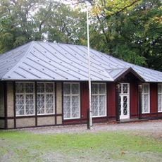
Skydepavillionen
6.4 km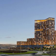
Sky Tower Hotel
6 km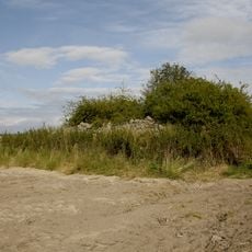
Sankt Nikolaj Kapel
6.9 km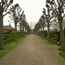
Risskov Kirkegård
4.9 km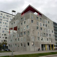
Vulkanen
7.6 km
Havnehusene
7.5 km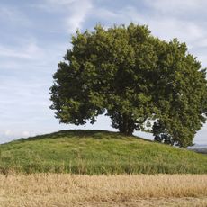
Loddenhøj
3.3 km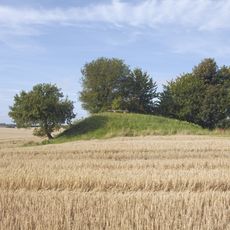
Hjorthøj
3.3 kmReviews
Visited this place? Tap the stars to rate it and share your experience / photos with the community! Try now! You can cancel it anytime.
Discover hidden gems everywhere you go!
From secret cafés to breathtaking viewpoints, skip the crowded tourist spots and find places that match your style. Our app makes it easy with voice search, smart filtering, route optimization, and insider tips from travelers worldwide. Download now for the complete mobile experience.

A unique approach to discovering new places❞
— Le Figaro
All the places worth exploring❞
— France Info
A tailor-made excursion in just a few clicks❞
— 20 Minutes