
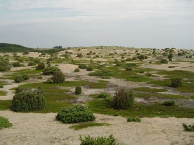
Natura 2000-område nr. 46 Anholt og havet nord for
Location: Norddjurs Municipality
GPS coordinates: 56.71640,11.58780
Latest update: March 31, 2025 18:38
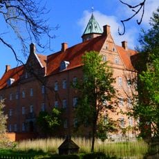
Sostrup Castle
52.7 km
Kattegatcenter
53.3 km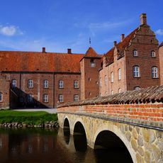
Katholm Castle
58.3 km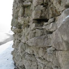
Cliffs of Sangstrup
49.4 km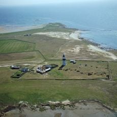
Morups Tånge
52.5 km
Fladen
57.4 km
Fornæs Lighthouse
49.2 km
Falkenberg
56.1 km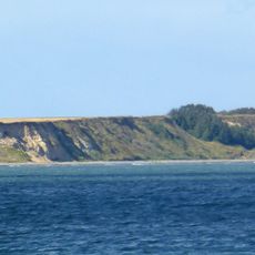
Gjerrild Klint
49.7 km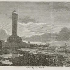
Anholt Lighthouse
4.5 km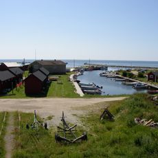
Gamla Köpstad
56.3 km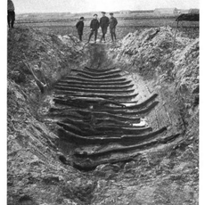
Galtabäck boat
57 km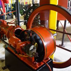
The Engine Collection
56.1 km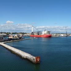
Grenaa Port
53 km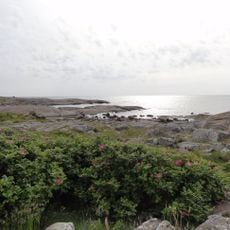
Western Getterön Nature Reserve
57.9 km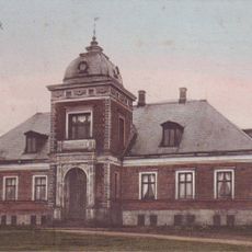
Stensmark
49.6 km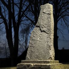
Rimsø Runestone
55.3 km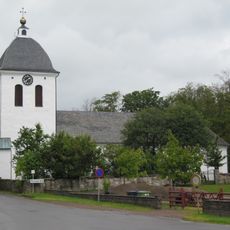
Morup Church
57.4 km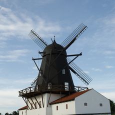
Baunhøj Mølle
55.2 km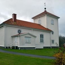
Träslövsläge Church
56.3 km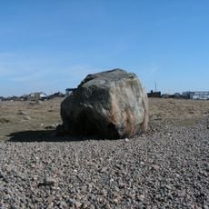
Glom Stone
52.2 km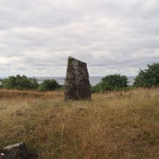
Randens hög
58.3 km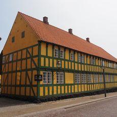
Museum Østjylland Grenaa
55.2 km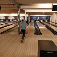
Falkenbergs bowlinghall
57.5 km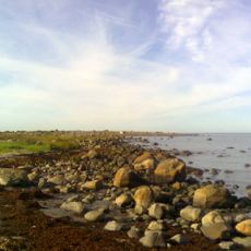
Gamla Köpstad
55.8 km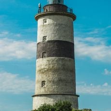
Morups Tånge
52.3 km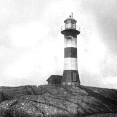
Skrivareklippan old lighthouse
57.9 km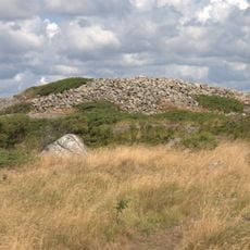
Stora Våle
58 kmReviews
Visited this place? Tap the stars to rate it and share your experience / photos with the community! Try now! You can cancel it anytime.
Discover hidden gems everywhere you go!
From secret cafés to breathtaking viewpoints, skip the crowded tourist spots and find places that match your style. Our app makes it easy with voice search, smart filtering, route optimization, and insider tips from travelers worldwide. Download now for the complete mobile experience.

A unique approach to discovering new places❞
— Le Figaro
All the places worth exploring❞
— France Info
A tailor-made excursion in just a few clicks❞
— 20 Minutes