
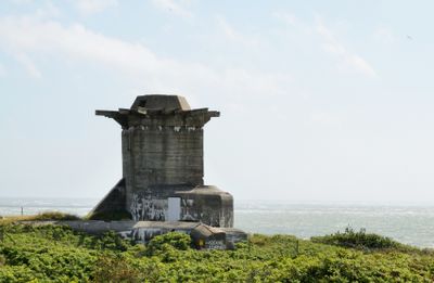
Würzburg radar foundation, foundation of WW2 German radar at Blåvand, Denmark
Location: Esbjerg Municipality
GPS coordinates: 55.55709,8.08276
Latest update: March 11, 2025 12:03
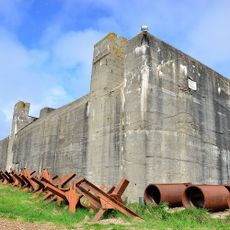
Tirpitz bunkers
5.7 km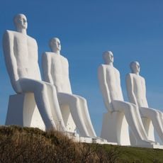
Men at Sea
22.1 km
Henne Strand
21.1 km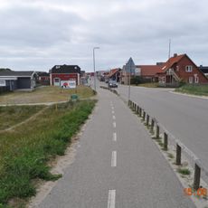
Vejers Strand
8.1 km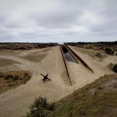
Tirpitz museum
5.7 km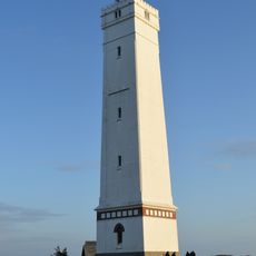
Blåvand Lighthouse
88 m
Langli
15.4 km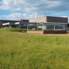
Fisheries and Maritime Museum
22 km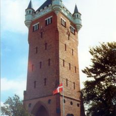
Esbjerg Water Tower
25.3 km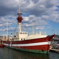
Lightship Museum
22.3 km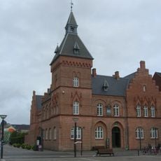
Courthouse and Jail
25.4 km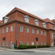
Esbjerg Museum
25.3 km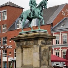
Christian IX
25.4 km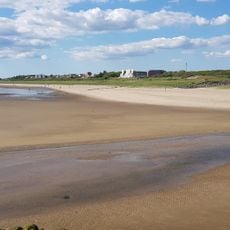
Sædding Beach
20.7 km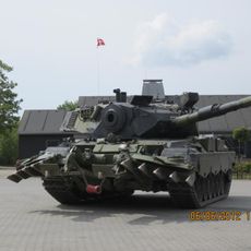
Oksbøl tank museum
15 km
FLUGT – Refugee Museum of Denmark
14.7 km
IC Møllerparken
25.1 km
Bethania Mission House
25.2 km
Blåvand Life Boat Station
2.1 km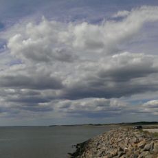
The Esbjerg Ship
22.3 km
Børsmose Strand
13.2 km
Sædding Strand Lighthouse
21.4 km
Esbjerg Town hall
25.1 km
Church of jesus christ of latter-day saints
24.4 km
Hjerting Beach
19.3 km
Würth (Esbjerg)
24.6 km
The Yellow Palace
25.2 km
Esbjerg Toldkammer
25.1 kmVisited this place? Tap the stars to rate it and share your experience / photos with the community! Try now! You can cancel it anytime.
Discover hidden gems everywhere you go!
From secret cafés to breathtaking viewpoints, skip the crowded tourist spots and find places that match your style. Our app makes it easy with voice search, smart filtering, route optimization, and insider tips from travelers worldwide. Download now for the complete mobile experience.

A unique approach to discovering new places❞
— Le Figaro
All the places worth exploring❞
— France Info
A tailor-made excursion in just a few clicks❞
— 20 Minutes