
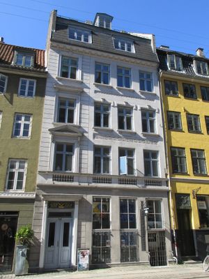
Gammel Mønt 25, building in Copenhagen
Location: Copenhagen Municipality
GPS coordinates: 55.68145,12.58060
Latest update: March 14, 2025 20:09

Jazzhus Montmartre
69 m
Pilestræde 37
78 m
Pilestræde 41–45
96 m
Sværtegade 3
42 m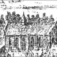
St. Clare's Monastery, Copenhagen
72 m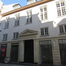
Kronprinsensgade 7
124 m
Antonigade 3
122 m
Comediehuset
67 m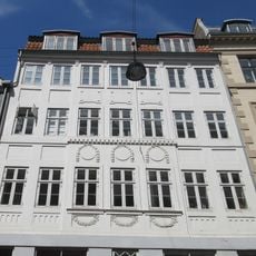
Antonigade 9
119 m
Pilestræde 39
83 m
Pilestræde 42
58 m
Gammel Mønt 1
110 m
Stolperstein dedicated to Ruth Fanni Niedrig
88 m
Berlingske Building
73 m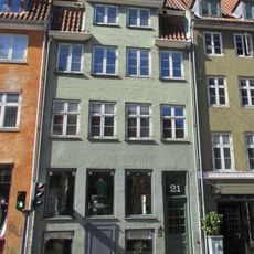
Gammel Mønt 21
14 m
Gammel Mønt 23
7 m
Sværtegade 7
30 m
Gammel Mønt 35
37 m
Gammel Mønt 17
32 m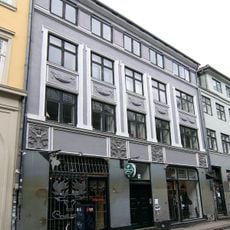
Sværtegade 5
35 m
Gammel Mønt 19
23 m
Glargaarden
57 m
Gammel Mønt 37
45 m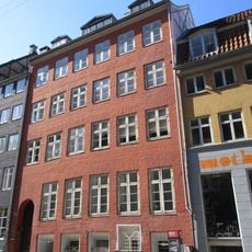
Gammel Mønt 31
22 m
Sværtegade 9
31 m
Gammel Mønt 33
31 m
Sværtegade 11
32 m
Gammel Mønt 39
56 mReviews
Visited this place? Tap the stars to rate it and share your experience / photos with the community! Try now! You can cancel it anytime.
Discover hidden gems everywhere you go!
From secret cafés to breathtaking viewpoints, skip the crowded tourist spots and find places that match your style. Our app makes it easy with voice search, smart filtering, route optimization, and insider tips from travelers worldwide. Download now for the complete mobile experience.

A unique approach to discovering new places❞
— Le Figaro
All the places worth exploring❞
— France Info
A tailor-made excursion in just a few clicks❞
— 20 Minutes