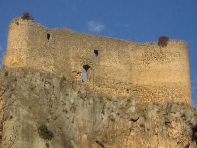
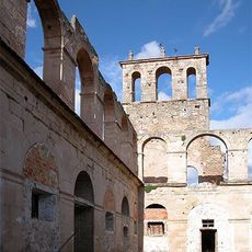
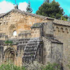
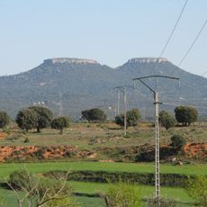
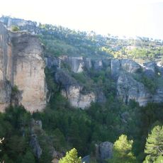
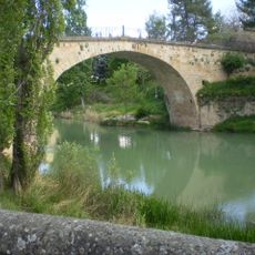
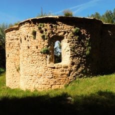
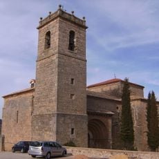
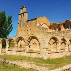
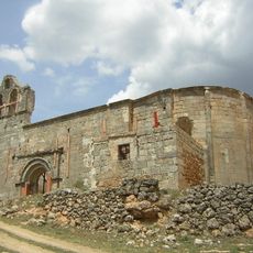
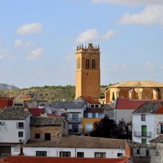
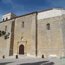
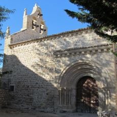
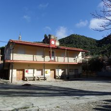
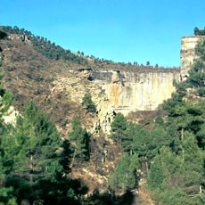
Arbeteta, municipality of Spain
The community of curious travelers
AroundUs brings together thousands of curated places, local tips, and hidden gems, enriched daily by 60,000 contributors worldwide.
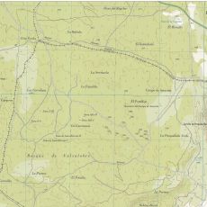
Location
Elevation above the sea
991 m
Part of
Mancomunidad de Pastos de Sierra de Cuenca, Mancomunitat «Alto Tajo»
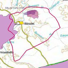
Shares border with
Cifuentes, Valtablado del Río, Armallones, Villanueva de Alcorón, El Recuenco, Peralveche, Trillo
GPS coordinates
40.67056,-2.40167
Latest update
March 6, 2025 03:04