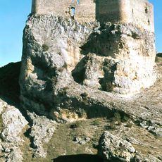
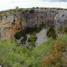
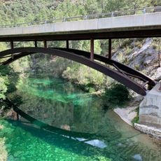
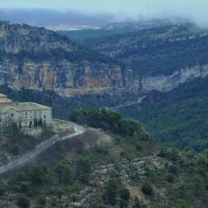
Sima de Alcorón, Natural sinkhole in Alto Tajo Natural Park, Guadalajara, Spain
Sima de Alcorón is a natural sinkhole within Alto Tajo National Park that descends about 63 meters into the ground, containing two distinct sections. A concrete pathway with stone steps and metal railings guides visitors through the upper levels to a wide platform where daylight penetrates the interior.
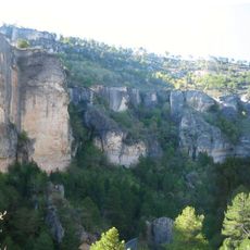
The sinkhole formed naturally through erosion and water flow over a long period in this mountainous terrain. In earlier times, local residents reached the water at the bottom by dropping pine trees into the cavity and using their branches as makeshift ladders.
The sinkhole has long served as a vital water source for surrounding villages and remains central to local water management. Visitors walking through it can sense how this natural feature shaped the daily lives and survival of people in this remote area.
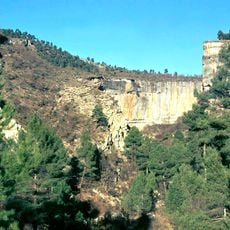
The descent involves climbing about 207 steps divided into two sections, with handrails securing the way throughout. The interior is damp and shadowy, so visitors should wear slip-resistant shoes and consider bringing a light source to navigate safely.
The walls are coated with orange-colored mineral deposits created by iron-rich waters, giving the space an unusual hue. At midday, light beams from above create striking visual effects within the damp interior, temporarily transforming how the space appears.
The community of curious travelers
AroundUs brings together thousands of curated places, local tips, and hidden gems, enriched daily by 60,000 contributors worldwide.