
Christian IX's Palæ, building in Copenhagen Municipality, Denmark
Location: Copenhagen Municipality
Inception: 1758
GPS coordinates: 55.68338,12.59359
Latest update: March 14, 2025 10:47
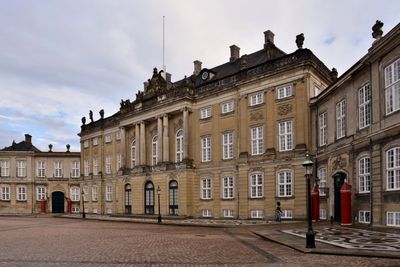
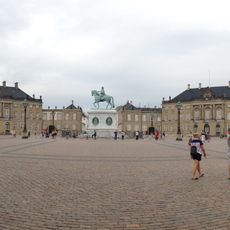
Amalienborg
74 m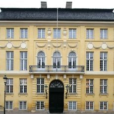
Yellow Palace
68 m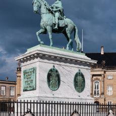
Equestrian statue of Frederick V
73 m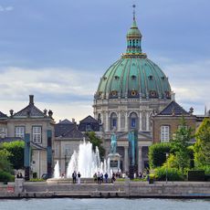
Amaliehaven
89 m
Larsens Plads
223 m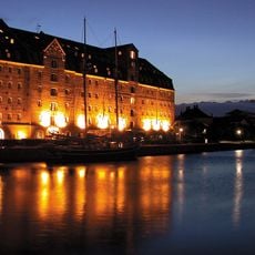
Copenhagen Admiral Hotel
161 m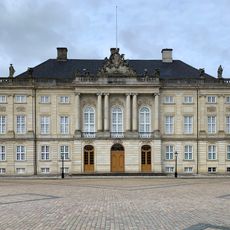
Moltke's Palace
105 m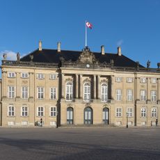
Frederik VIII’s Palace
102 m
Casino Theatre
144 m
Bernstorff Mansion
214 m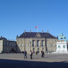
Amalienborg Palace Museum
139 m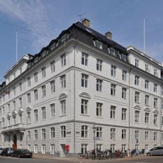
Prince William Mansion
208 m
Collin House
147 m
Amaliegade 15–17
93 m
Amaliegade 13
112 m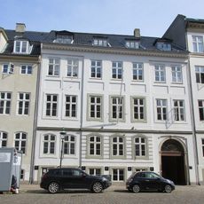
Amaliegade 14
105 m
Amaliegade 11
125 m
Amaliegade 12
118 m
Bredgade 38
225 m
Morten Farum House
213 m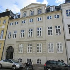
Amaliegade 16
90 m
Amaliegade 8
165 m
Amaliegade 4
197 m
Niels Aagesen House
168 m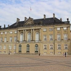
Christian VIII's Palæ
146 m
Amaliegade 6
181 m
Fredericiagade 4
200 m
Amaliegade 21
198 mReviews
Visited this place? Tap the stars to rate it and share your experience / photos with the community! Try now! You can cancel it anytime.
Discover hidden gems everywhere you go!
From secret cafés to breathtaking viewpoints, skip the crowded tourist spots and find places that match your style. Our app makes it easy with voice search, smart filtering, route optimization, and insider tips from travelers worldwide. Download now for the complete mobile experience.

A unique approach to discovering new places❞
— Le Figaro
All the places worth exploring❞
— France Info
A tailor-made excursion in just a few clicks❞
— 20 Minutes