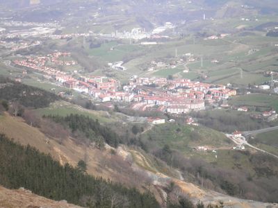
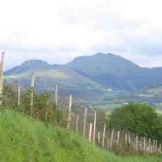
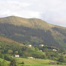
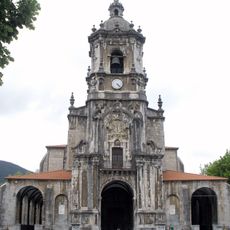
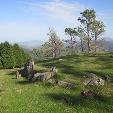
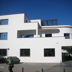
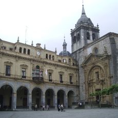
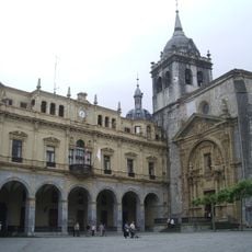
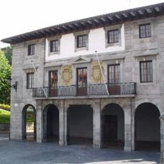
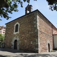
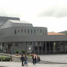
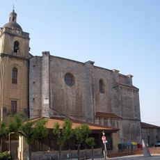
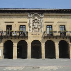
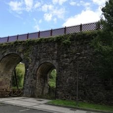
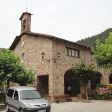
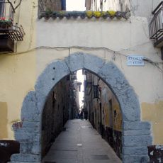
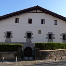
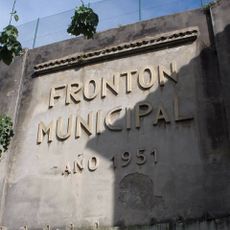
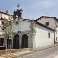
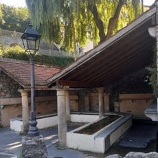
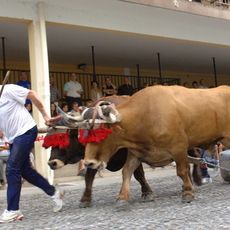
Urnieta, municipality of Basque Country
Location: Donostialdea
Capital city: Urnieta
Elevation above the sea: 15 m
Part of: Mancomunidad Municipal de Aguas del embalse del Río Añarbe, Mancomunitat Municipal de San Marcos
Shares border with: Hernani, Elduain, Andoain, Lasarte-Oria
Website: https://urnieta.eus
GPS coordinates: 43.24687,-1.99170
Latest update: April 4, 2025 11:56
Adarra
5.1 km
Eteneta I megalithic complex
5.7 km
Mulisko Gaina
4.2 km
Buruntza
2 km
Church of San Martín de Tours, Andoain
3.8 km
Crómlech de Elurzulo
4.7 km
Fábrica de brocas Laborde Hnos., Andoain
3.2 km
Church of San Juan Bautista, Hernani
2.4 km
Hermitage of San Roque, Andoain
2.7 km
Town hall of Hernani
2.4 km
Leitzaran Institutua
3.9 km
Town hall of Andoain
3.8 km
Menhir d'Usobelartza
6.7 km
Txirritaren bustoa Ereñotzun
4.9 km
Zumeako Gurutze Deunaren baseliza
4.3 km
Bastero Kulturgunea
4.1 km
Church of San Miguel, Urnieta
175 m
Caserío Berrozpe
3.5 km
Town hall of Urnieta
154 m
Andoain train station viaduct
3 km
San Antonio baseliza
4.2 km
Arco de entrada a la Villa de Hernani
2.5 km
Casa Berrozpe
3.5 km
Ezkiaga pasealekuko frontoia
2.5 km
Santa Leocadia baseliza
94 m
Fuente Y Lavadero Leokari
2.3 km
Urnietako probalekua
169 m
Laborde Anaiak, Pabellón, Oficinas Y Viviendas
3.2 kmReviews
Visited this place? Tap the stars to rate it and share your experience / photos with the community! Try now! You can cancel it anytime.
Discover hidden gems everywhere you go!
From secret cafés to breathtaking viewpoints, skip the crowded tourist spots and find places that match your style. Our app makes it easy with voice search, smart filtering, route optimization, and insider tips from travelers worldwide. Download now for the complete mobile experience.
A unique approach to discovering new places❞
— Le Figaro
All the places worth exploring❞
— France Info
A tailor-made excursion in just a few clicks❞
— 20 Minutes