
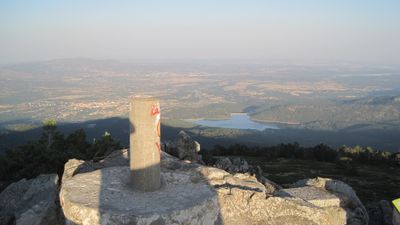
Cabeza Lijar, triangulation station in Guadarrama, Spain
Location: Guadarrama
Elevation above the sea: 1,822.78 m
Height: 1.2 m
GPS coordinates: 40.68955,-4.16033
Latest update: March 3, 2025 16:58
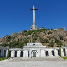
Valley of Cuelgamuros
5.4 km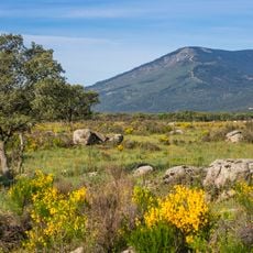
Mount Abantos
8.2 km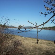
La Jarosa Reservoir
3.6 km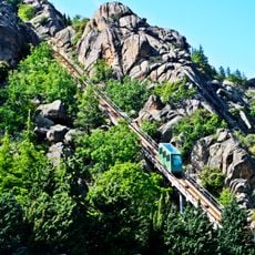
Funicular of Valle de los Caídos
5.6 km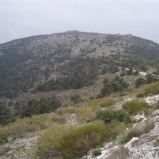
Cabeza Líjar
37 m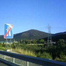
Cueva Valiente
2.7 km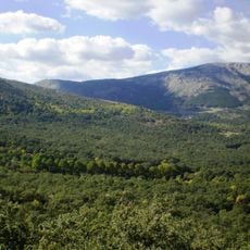
Paraje Pintoresco del Pinar de Abantos y Zona de La Herrería
9 km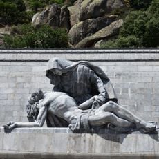
Pietà
5.3 km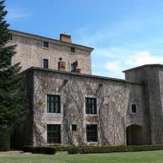
El Campillo, El Escorial
8.6 km
Pontifical Basilica of the Holy Cross
5.3 km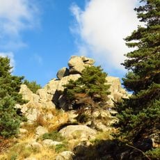
Peñas del Arcipreste de Hita
4.6 km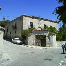
El Espinar shearing shed
8.1 km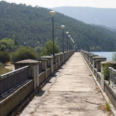
La Jarosa Dam
4.5 km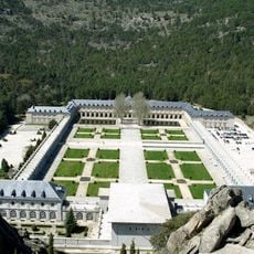
Abbey of the Holy Cross
5.4 km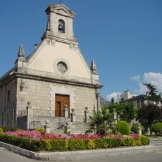
Church of San Miguel Arcángel
6.4 km
Convent of Santa Isabel, El Espinar
8 km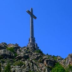
Cross of Valle de Cuelgamuros
5.3 km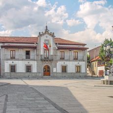
Town Hall of Los Molinos
7.8 km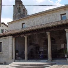
Iglesia de la Concepción de Nuestra Señora, Los Molinos
8 km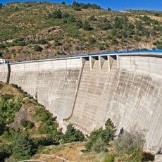
La Aceña Dam
10 km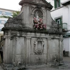
Stone fountain in Guadarrama
6.1 km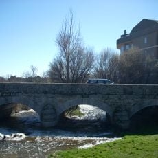
Puente del Rosario
6.7 km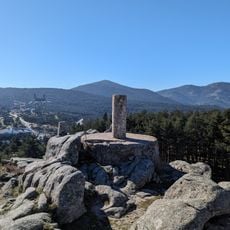
Sevillana
3.1 km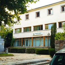
Biblioteca Municipal de Cercedilla
10.3 km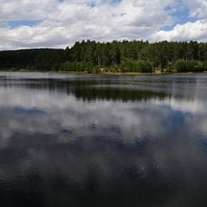
Cañada Mojada Reservoir
6 km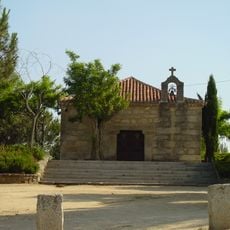
Ermita de San José, Los Molinos
7.6 km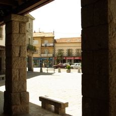
Plaza mayor de Guadarrama
6.3 km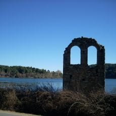
Ermita de San Macario
3.8 kmReviews
Visited this place? Tap the stars to rate it and share your experience / photos with the community! Try now! You can cancel it anytime.
Discover hidden gems everywhere you go!
From secret cafés to breathtaking viewpoints, skip the crowded tourist spots and find places that match your style. Our app makes it easy with voice search, smart filtering, route optimization, and insider tips from travelers worldwide. Download now for the complete mobile experience.

A unique approach to discovering new places❞
— Le Figaro
All the places worth exploring❞
— France Info
A tailor-made excursion in just a few clicks❞
— 20 Minutes