
Madroñal, triangulation station in Colmenarejo, Spain
Location: Colmenarejo
Elevation above the sea: 846.05 m
Height: 1.33 m
GPS coordinates: 40.51803,-3.99811
Latest update: June 27, 2025 11:15
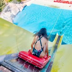
Aquopolis
6.9 km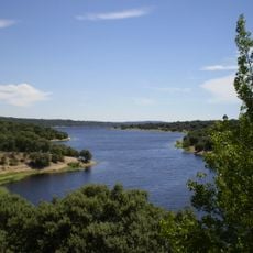
Valmayor Reservoir
8.1 km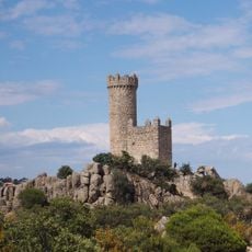
Watchtower of Torrelodones
8.3 km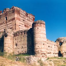
Castle of Aulencia
9 km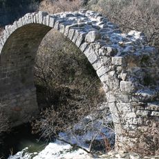
Puente de la Alcanzorla, Galapagar
8.1 km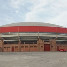
Bullring in Valdemorillo
6.5 km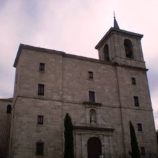
Church of Our Lady of the Assumption
6.1 km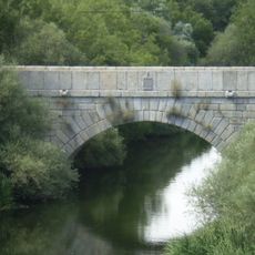
Puente Nuevo, Galapagar
7.8 km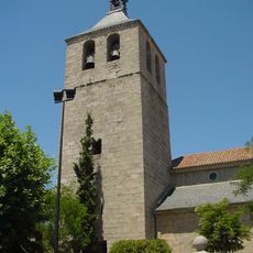
Church of la Asunción
6.7 km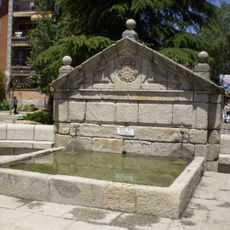
Fountain of El Caño, Torrelodones
8.7 km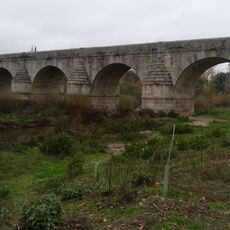
Bridge of Retamar
4.9 km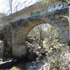
Puente de la Navata
9 km
Museum of Spanish Football Team
8.4 km
Town Hall of Villanueva de la Cañada
8 km
Town hall of Valdemorillo
6.2 km
Puente Puerta de las Matas
9.3 km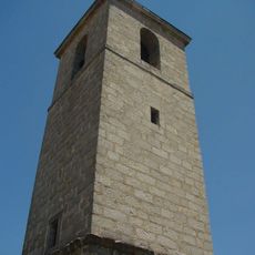
Church of St. James the Apostle, Colmenarejo
5 km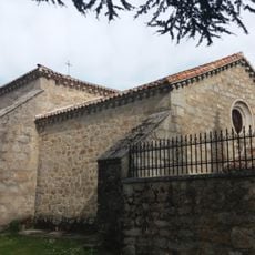
Hermitage of Our Lady of Hope of Valmayor
8 km
Ermita de la Paz del cementerio de Valdemorillo
6 km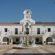
Town Hall of Villanueva del Pardillo
4.2 km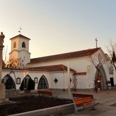
Old Church of St. Luke the Evangelist, villanueva del Pardillo
4.2 km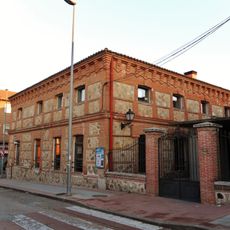
La Casona, Villanueva del Pardillo
4.4 km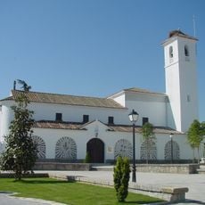
Church of Santiago Apóstol (Villanueva de la Cañada)
8 km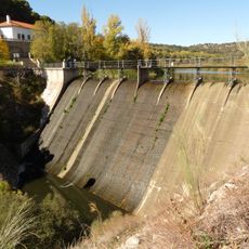
Aulencia Dam
2.2 km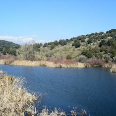
Aulencia Reservoir
2.2 km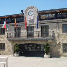
Town hall of Colmenarejo
5 km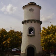
Depósito de agua, Villanueva del Pardillo
4.6 km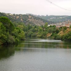
Embalse de Molino de la Hoz
5.1 kmReviews
Visited this place? Tap the stars to rate it and share your experience / photos with the community! Try now! You can cancel it anytime.
Discover hidden gems everywhere you go!
From secret cafés to breathtaking viewpoints, skip the crowded tourist spots and find places that match your style. Our app makes it easy with voice search, smart filtering, route optimization, and insider tips from travelers worldwide. Download now for the complete mobile experience.

A unique approach to discovering new places❞
— Le Figaro
All the places worth exploring❞
— France Info
A tailor-made excursion in just a few clicks❞
— 20 Minutes