
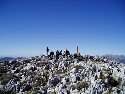
Palo, triangulation station in Benaoján, Spain
Location: Benaoján
Elevation above the sea: 1,400.198 m
Height: 1.2 m
GPS coordinates: 36.66783,-5.30740
Latest update: March 11, 2025 12:42
Sierra de Grazalema Natural Park
8.9 km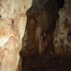
Cueva de la Pileta
4.2 km
Navazo Alto
9 km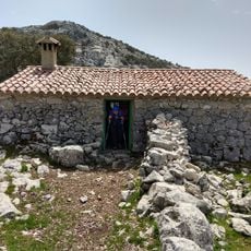
Refugio Reloj
8.6 km
Castillo y Cementerio
7.5 km
Acueducto de Villaluenga
7.2 km
El Chorrero
6.2 km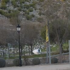
Pozo del Albarrabal
7.4 km
Biblioteca Pública Municipal de Jimera de Líbar - María Rodríguez
3.5 km
Casa Consistorial de Cortes de la Frontera
6.5 km
Lavadero de los Huertos
5.9 km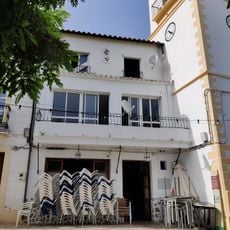
Casino de Villaluenga del Rosario
7.7 km
Vivienda 0011
7.8 km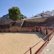
Plaza de toros de Villaluenga del Rosario
7.6 km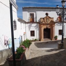
Villaluenga del Rosario town hall
7.8 km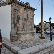
Fuente de los Caños
7.6 km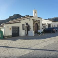
Ermita de San Gregorio
7.5 km
Fuente de los Arbolitos
8 km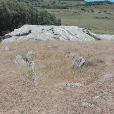
Sepultura de la Giganta
6.7 km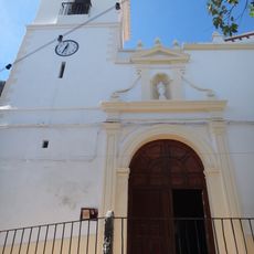
Iglesia de San Miguel
7.7 km
Rincón Scout Cura Carlos
7.6 km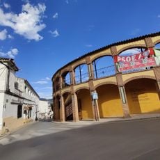
Plaza de toros de Cortes de la Frontera
6.2 km
Depósitos de Villaluenga
7.8 km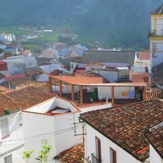
Iglesia Parroquial de Santiago
8.9 km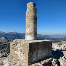
Ventana
5.5 km
Sima de Villaluenga
7.4 km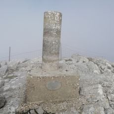
Sierra de los Pinos
7.5 km
Museo del Queso Payoyo
7.5 kmReviews
Visited this place? Tap the stars to rate it and share your experience / photos with the community! Try now! You can cancel it anytime.
Discover hidden gems everywhere you go!
From secret cafés to breathtaking viewpoints, skip the crowded tourist spots and find places that match your style. Our app makes it easy with voice search, smart filtering, route optimization, and insider tips from travelers worldwide. Download now for the complete mobile experience.

A unique approach to discovering new places❞
— Le Figaro
All the places worth exploring❞
— France Info
A tailor-made excursion in just a few clicks❞
— 20 Minutes