
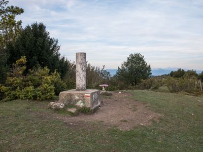
Palogán, triangulation station in Vitoria-Gasteiz, Spain
Location: Vitoria-Gasteiz
Elevation above the sea: 1,028.389 m
Height: 1.2 m
GPS coordinates: 42.76828,-2.61453
Latest update: March 3, 2025 00:17
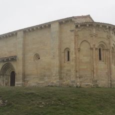
Hermitage of the Purísima Concepción, San Vicentejo
5.7 km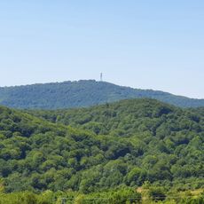
Kapildui
6.3 km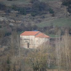
Ermita De San Juan
8.2 km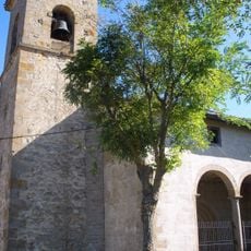
Church of Santa Columba, Argandoña
8.3 km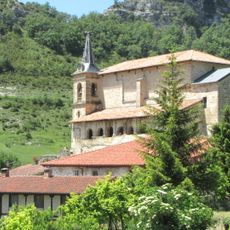
Iglesia de San Martín
7.4 km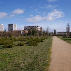
Botanical Garden of Olarizu
7.7 km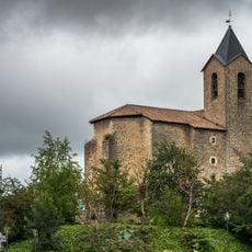
Church of San Juan Bautista de Aretxabaleta
8.6 km
Church of San Martín, Otazu
7.2 km
Church of San Esteban, Aberásturi
6.8 km
Iglesia de la Asunción de Nuestra Señora
7.8 km
Church of Asunción de Nuestra Señora, Mendiola
6.5 km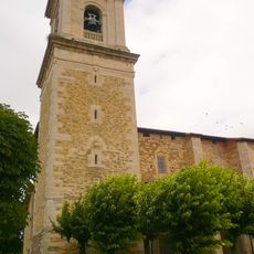
Church of the Natividad of Nuestra Señóra, Arkaia
8.3 km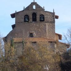
Iglesia de San Vicente Mártir
8.1 km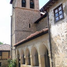
Church of San Pedro Apóstol, Monasterioguren
4.6 km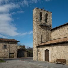
Church of San Pedro, Gardelegi
8 km
Olarizuko parkea
7.9 km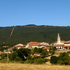
Arrieta
7.6 km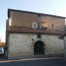
Iglesia de Santa Catalina
8 km
Iglesia de Santa Eulalia de Mérida
5.7 km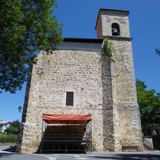
Church of la Asunción, Uribarri Nagusia
3.1 km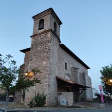
Church of San Andrés, Villafranca
8.6 km
Church of San Miguel Arcángel, Askartza
8.4 km
Suessatio
7.4 km
Puentealto
7.4 km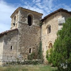
Church of San Andrés, Saraso
7 km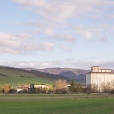
Silo of Vitoria
7.5 km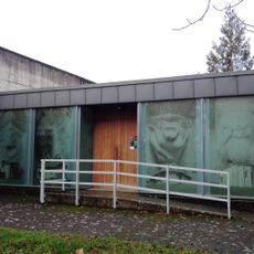
Romanesque Interpretation Centre in Alava
8.2 km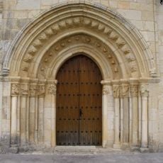
Church of Nuestra Señora de la Asunción, Uzquiano
6.6 kmReviews
Visited this place? Tap the stars to rate it and share your experience / photos with the community! Try now! You can cancel it anytime.
Discover hidden gems everywhere you go!
From secret cafés to breathtaking viewpoints, skip the crowded tourist spots and find places that match your style. Our app makes it easy with voice search, smart filtering, route optimization, and insider tips from travelers worldwide. Download now for the complete mobile experience.

A unique approach to discovering new places❞
— Le Figaro
All the places worth exploring❞
— France Info
A tailor-made excursion in just a few clicks❞
— 20 Minutes