Route Napoléon III

Log in to your account

AroundUs is a community-driven map of interesting places, built by curious explorers like you. It grows with every review, story, and photo you share.
Connect to save your favorite spots, contribute locations, and create personalized routes.
By continuing, you accept our Terms and Conditions and our Privacy Policy

Route Napoléon III

Add to collection
Map
Suggest a change
Share

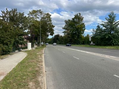
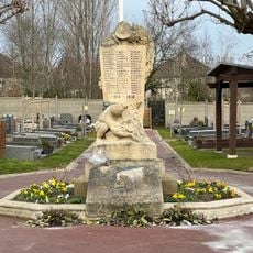
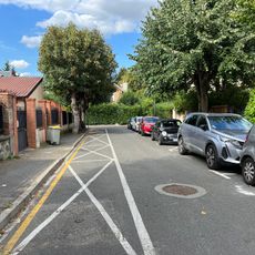
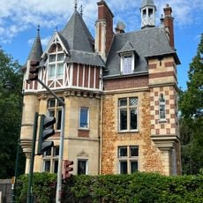
Route Napoléon III, Street network element in Vaucresson, France.
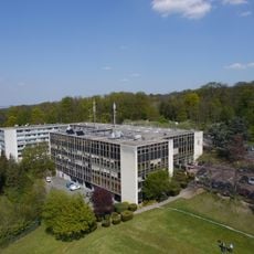
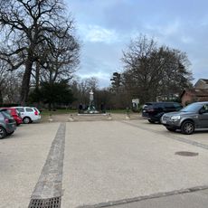
Route Napoléon III extends through a residential area of Vaucresson at coordinates 48.832833 latitude and 2.149792 longitude, connecting multiple neighborhoods within the commune.

The road's development aligns with the infrastructure expansion period during Emperor Napoleon III's reign in the nineteenth century, reflecting urban planning initiatives of that era.

The street network incorporates local architectural elements and design principles that characterize the suburban landscape of the Hauts-de-Seine department in Île-de-France.

Located in postal code 92420, the road provides direct access to public transportation options and maintains connections to essential services in the Vaucresson area.

This thoroughfare functions as a central axis within Vaucresson's street system, facilitating movement between residential zones and commercial establishments in the commune.

Location: Vaucresson

Part of: street network of Vaucresson

Shares border with: boulevard de Jardy, boulevard de Jardy

Address: Rte Napoléon III, France

GPS coordinates: 48.83283,2.14979

Latest update: March 7, 2025 15:24

Motorcycle routes in France: Alpine passes, coastal roads, and historic circuits

France offers motorcyclists a diverse landscape, from Alpine peaks to Mediterranean coasts, including wine regions. The country is suitable for all riding styles, with demanding mountain roads, winding coastal routes, and rural paths. Key routes include the Col de la Bonette, reaching 2802 meters and connecting Ubaye to Tinée over 26 kilometers. The Gorges du Verdon feature 21 kilometers of rock-carved road, passing through tunnels and 700-meter-high cliffs. The Routes of the Great Alps cross 16 passes over 684 kilometers between Lake Geneva and the Mediterranean, with a total ascent of 15,700 meters. Mount Ventoux, accessible via three routes and standing at 1912 meters, passes through lavender fields and vineyards in Provence. Regions display striking contrasts: Corsica alternates between cliff roads and pine forests, the French Riviera combines coast and mountainous hinterland, and Dordogne winds between limestone cliffs and medieval villages. Lake Annecy connects water bodies with forested mountain passes. These routes feature technical curves, varied landscapes, and cultural sites.

Reviews

Visited this place? Tap the stars to rate it and share your experience / photos with the community! Try now! You can cancel it anytime.

« Route Napoléon III - Street network element in Vaucresson, France » is provided by Around Us (aroundus.com). Images and texts are derived from Wikimedia project under a Creative Commons license. You are allowed to copy, distribute, and modify copies of this page, under the conditions set by the license, as long as this note is clearly visible.

Discover hidden gems everywhere you go!

From secret cafés to breathtaking viewpoints, skip the crowded tourist spots and find places that match your style. Our app makes it easy with voice search, smart filtering, route optimization, and insider tips from travelers worldwide. Download now for the complete mobile experience.

Around Us App Screenshot

A unique approach to discovering new places

Le Figaro

All the places worth exploring

France Info

A tailor-made excursion in just a few clicks

20 Minutes