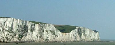
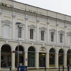
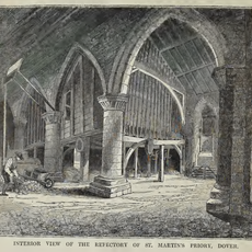
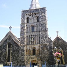
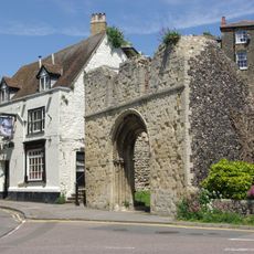
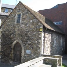
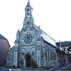
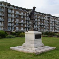
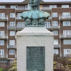
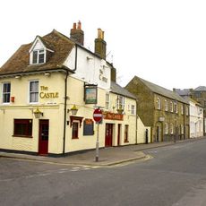
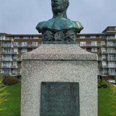
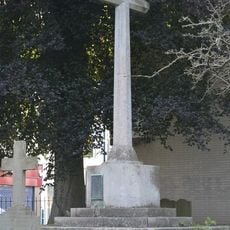
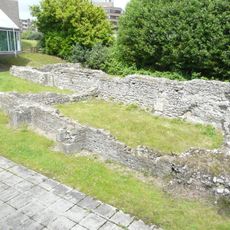
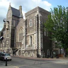
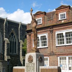
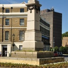
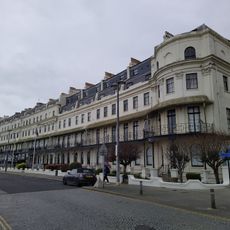
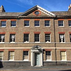
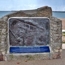
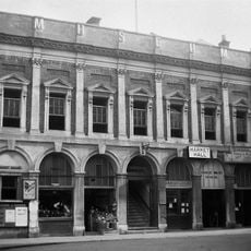
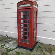
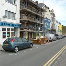
Dover, town and major ferry port in Kent, South East England
Location: Dover
Elevation above the sea: 12 m
Website: http://dover.gov.uk
GPS coordinates: 51.12513,1.31342
Latest update: March 5, 2025 02:15
Dover Bronze Age Boat
178 m
Dover Museum
21 m
Dover Priory
494 m
St Mary's Church, Dover
94 m
St James' Church, Dover
334 m
St Edmund's Chapel
383 m
St Paul's Church, Dover
389 m
Charles Stewart Rolls memorial
301 m
Matthew Webb statue
337 m
Castle Inn
164 m
Matthew Webb memorial
378 m
War Memorial in the Churchyard of the Parish Church of St Mary the Virgin, Dover
126 m
St Martin's Church
56 m
Dover Town Hall
455 m
People Of Dover War Memorial
418 m
60th Rifles Memorial To Indian Mutiny
264 m
Unitarian Church And Vestry Adjoining
157 m
Nos 1 To 9 Including Basement Area Railings
230 m
Library, Dover College
484 m
Maison Dieu House
422 m
1-30, Waterloo Crescent
279 m
Castle Hill House, Including Attached Garden Wall With Gatepiers To South-East
306 m
Dunkirk 1940 memorial, Dover, Kent
422 m
The Market Hall
57 m
K6 Telephone Kiosk
232 m
144, Snargate Street
400 m
On the Crest of a Wave
328 m
New Bridge House
225 mReviews
Visited this place? Tap the stars to rate it and share your experience / photos with the community! Try now! You can cancel it anytime.
Discover hidden gems everywhere you go!
From secret cafés to breathtaking viewpoints, skip the crowded tourist spots and find places that match your style. Our app makes it easy with voice search, smart filtering, route optimization, and insider tips from travelers worldwide. Download now for the complete mobile experience.
A unique approach to discovering new places❞
— Le Figaro
All the places worth exploring❞
— France Info
A tailor-made excursion in just a few clicks❞
— 20 Minutes