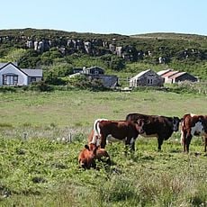
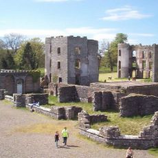
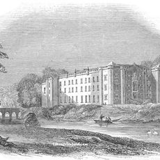
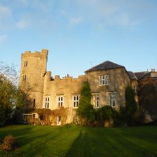
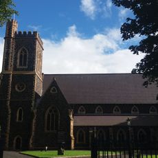
Antrim, former local government district in Northern Ireland
Location: Antrim and Newtownabbey
Website: http://antrim.gov.uk
GPS coordinates: 54.72700,-6.21000
Latest update: March 7, 2025 06:27
County Antrim
16 km
Shane's Castle ruins
3.9 km
Divis
17.8 km
Antrim Castle
1.5 km
Castle Upton
8.1 km
Ram's Island
16.8 km
Ballymena Town Hall
15.8 km
St Patrick's Church, Ballymena
15.7 km
Crosskeys Inn
16.6 km
Ballyclare Town Hall
13.7 km
Mossley Mill
17.2 km
Galgorm Castle
16 km
Ballymena Methodist Church
16.3 km
Christ Church Church Road Ballynure Co Antrim Bt39 9aj
17.1 km
Deerpark Bridge Antrim Castle Gardens Randalstown Road Antrim Co Antrim
1.6 km
St. Patrick's Church 57 Castle St., Ballymena, Co. Antrim
15.6 km
Early Memorials In Graveyard Of Moravian Church Gracehill
16 km
Clotworthy House Randalstown Road Antrim Bt41 4lh
1.5 km
St Comgall's Rc Church Castle Street Antrim
1.1 km
First Presbyterian Church 54 Main St. Broughshane Co.antrim
18.6 km
Faith Mission Hall
16.8 km
Glengormley Library
17.3 km
The Steeple Steeple Road Antrim Co Antrim Bt41 1bj
151 m
Long Canals And Round Pond Antrim Castle Gardens Randalstown Road Antrim Co Antrim
1.3 km
Railway Viaduct Randalstown Antrim Co Antrim
7.3 km
Railway Bridge Straidballymorris Dunadry Co Antrim
5.4 km
Moravian Church And 21 And 25 Church Road Gracehill Co.antrim
16 km
Non-subscribing Presbyterian Church Main Street Crumlin Co Antrim
12 kmVisited this place? Tap the stars to rate it and share your experience / photos with the community! Try now! You can cancel it anytime.
Discover hidden gems everywhere you go!
From secret cafés to breathtaking viewpoints, skip the crowded tourist spots and find places that match your style. Our app makes it easy with voice search, smart filtering, route optimization, and insider tips from travelers worldwide. Download now for the complete mobile experience.
A unique approach to discovering new places❞
— Le Figaro
All the places worth exploring❞
— France Info
A tailor-made excursion in just a few clicks❞
— 20 Minutes