Congleton, Borough in Cheshire (1974-2009)
Website: http://congleton.gov.uk
GPS coordinates: 53.15000,-2.30000
Latest update: April 21, 2025 13:45
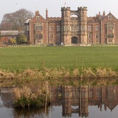
Brereton Hall
3.9 km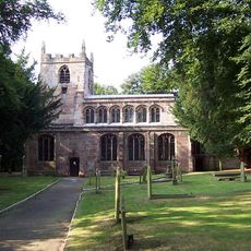
St Oswald's Church, Brereton
3.8 km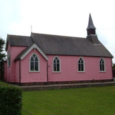
St Philip's Church, Hassall Green
4 km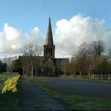
St John the Evangelist's Church, Sandbach Heath
2.5 km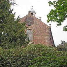
All Saints Chapel, Somerford
3.7 km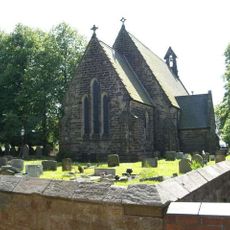
St John the Baptist's Church, Smallwood
1.4 km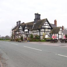
The Bear's Head Hotel
3.8 km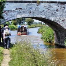
Bridge No 148
4 km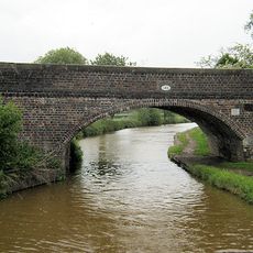
Bridge No 146
3.6 km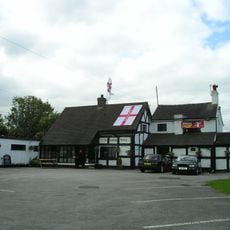
The Romping Donkey Public House
3.7 km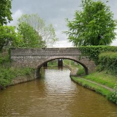
Trent and Mersey Canal Bridge at SJ 7950 5794
3.6 km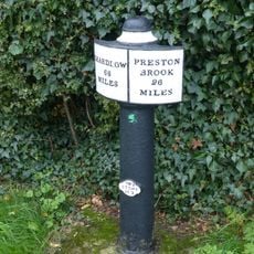
Canal milepost at SJ79665797
3.5 km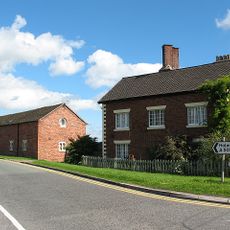
Farmhouse, Brickhouse Farm No 1
3 km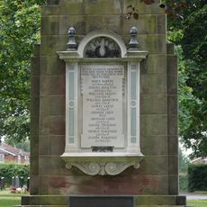
Brunner Mond Sandbach Works War Memorial
3.9 km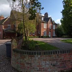
Old Rectory
3.9 km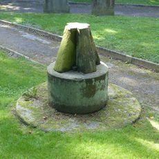
Sundial 10 metres south of east bay of nave of Church of St. Oswald
3.8 km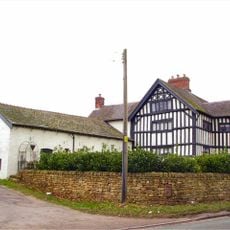
Dean Hill Farmhouse West
2.8 km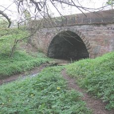
Sandbach Bridge
4 km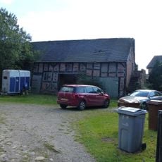
Barn c.5 yards east of Boults Green Farmhouse
3.4 km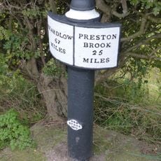
Milepost upstream of Lock No. 57
3.6 km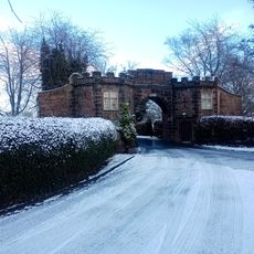
South Lodge to Brereton Hall School
3.7 km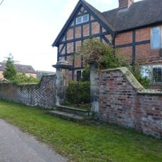
Pair of gatepiers c.3 yds to East of Boults Green Farmhouse
3.5 km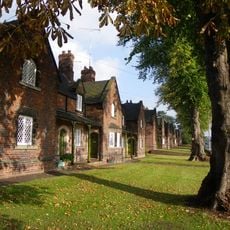
2-40, The Hill
3.9 km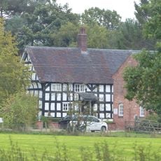
Bank Farmhouse
3.9 km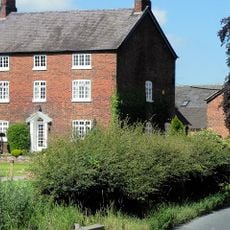
Farmhouse, Brickhouse Farm No 2
2.8 km
West Lodge and attached gatepiers to south
3.5 km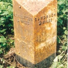
Milepost, NW of Arclid Hall Farm
1.8 km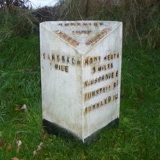
Milepost, Bechton Heath, nr The Cross
3.2 kmVisited this place? Tap the stars to rate it and share your experience / photos with the community! Try now! You can cancel it anytime.
Discover hidden gems everywhere you go!
From secret cafés to breathtaking viewpoints, skip the crowded tourist spots and find places that match your style. Our app makes it easy with voice search, smart filtering, route optimization, and insider tips from travelers worldwide. Download now for the complete mobile experience.

A unique approach to discovering new places❞
— Le Figaro
All the places worth exploring❞
— France Info
A tailor-made excursion in just a few clicks❞
— 20 Minutes