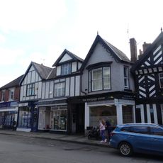
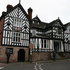
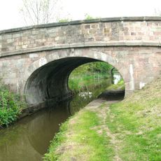
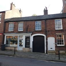
Congleton, Town and civil parish in Cheshire East, England
Location: Cheshire East
Shares border with: Bosley, North Rode, Eaton, Hulme Walfield, Somerford, Newbold Astbury, Rushton, Biddulph
GPS coordinates: 53.16200,-2.21700
Latest update: March 4, 2025 04:30
The Bridestones
5.1 km
St Mary's Church, Astbury
1.6 km
St Peter's Church, Congleton
361 m
St Mary's Church, Congleton
459 m
Congleton Town Hall
428 m
Christ Church, Eaton
3 km
The Plough Inn
3.1 km
St Michael's Church, Hulme Walfield
2.5 km
Congleton Museum
454 m
Congleton United Reformed Church
278 m
Macclesfield Canal Lambert's Lane Bridge Number 77
1.2 km
8–12 High Street
444 m
Macclesfield Canal Morris Bridge, Bridge Number 76
1.5 km
Church House
3 km
Congleton Viaduct
2.1 km
26 High Street
390 m
Macclesfield Canal Bridge Number 58 at SJ 9024 6514
5.2 km
2 and 4, Chapel Street
421 m
12 and 14 Swan Bank
230 m
2 Mill Street and Bulls Head Hotel
271 m
16–20 High Street
413 m
Lion and Swan Inn
191 m
Macclesfield Canal Bridge Number 61 at SJ 8899 6512
4.1 km
25 Lawton Street
557 m
The Wharf Inn (Public House)
1.1 km
The Counting House
250 m
Railway Station Hotel (Public House)
1.7 km
Dane Aqueduct
5.6 kmReviews
Visited this place? Tap the stars to rate it and share your experience / photos with the community! Try now! You can cancel it anytime.
Discover hidden gems everywhere you go!
From secret cafés to breathtaking viewpoints, skip the crowded tourist spots and find places that match your style. Our app makes it easy with voice search, smart filtering, route optimization, and insider tips from travelers worldwide. Download now for the complete mobile experience.
A unique approach to discovering new places❞
— Le Figaro
All the places worth exploring❞
— France Info
A tailor-made excursion in just a few clicks❞
— 20 Minutes