
Offa's Dyke, Ancient earthwork fortification in Welsh-English border, Great Britain
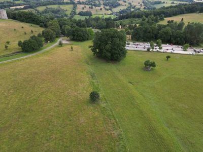
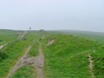
Offa's Dyke is a linear earthwork running roughly 240 kilometers from Liverpool Bay to the Severn Estuary, consisting of a ditch with a raised bank of soil. The formation passes through varied terrain including rolling hills, woodlands, and open fields, with some sections still standing up to three meters high today.
King Offa of Mercia commissioned this massive defensive barrier between 757 and 796 to separate his Anglo-Saxon kingdom from Welsh territories. The construction required thousands of laborers and represented one of the largest building projects in medieval England.
The name comes from King Offa of Mercia, who ruled the Anglo-Saxon kingdom during the 8th century. Today the earthwork serves as a natural boundary marker in the countryside, used by walkers and cyclists to explore the rural borderlands between the two nations.
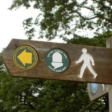
Visitors can follow the earthwork along the National Trail that traces its route and passes through several towns. Information centers along the way provide maps and orientation for walkers tackling individual sections or longer stretches of the path.
Archaeological studies show remains of wooden posts in some sections, suggesting a possible wooden palisade once stood atop the bank. This reinforcement would have significantly increased the defensive effectiveness and made the barrier harder to cross for attackers.
Location: Powys
Location: Denbighshire
Website: https://english-heritage.org.uk/visit/places/offas-dyke
GPS coordinates: 52.34400,-3.04900
Latest update: December 4, 2025 23:02
Offa's Dyke Path
272 m
St Edward's Church
205 m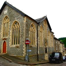
Knighton and Knucklas English Baptist Church
212 m
Former Council Offices,Cemetery Road
264 m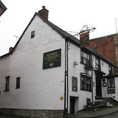
George & Dragon
26 m
No.17 (Green Price Almshouses) Church St.
177 m
No.15 (Green Price Almshouses) Church St.
190 m
No.18 (Green Price Almshouses) Church St.
171 m
No. 6 High Street (H. W. Parker, Chemist)
113 m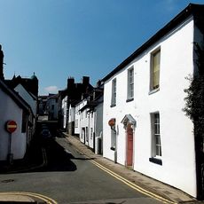
No.10 Church Street
114 m
No.16 (Green Price Almshouses) Church St.
183 m
No.1 High Street (Islwyn Watkins Antiques) including premises of W.Machin, Butcher, West Street
92 m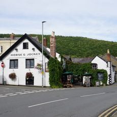
Horse & Jockey
76 m
No.25 Broad Street (Prince & Pugh Ltd.)
62 m
Knighton Hotel
51 m
No.24 Station Road
224 m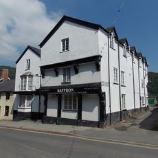
Swan Hotel, Bridge Street
117 m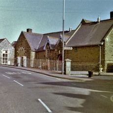
Youth Hostel Association and Heritage Centre (former primary school) West Street
251 m
Nos.22 (Florist) & 23 (C.B.Print) Broad St.
49 m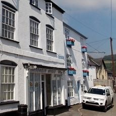
Mandarin House (Chinese take-away) (Formerly Castle House) Castle Road
185 m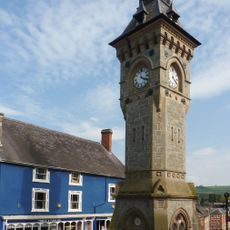
Clock Tower, High Street
70 m
No.1 Wylcwm Street (Burford House)
84 m
No.23 High Street (Brown's Bakers)
113 m
No. 8 (The Odd Corner) High Street
127 m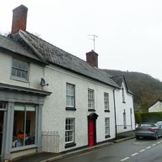
No.22 (Temeside) Station Road
241 m
Ystrad House, Church Road
200 m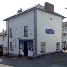
No.14 High Street (Rafa Club)
172 m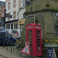
Telephone call-box on island site, beside Clock Tower, High Street
68 mReviews
Visited this place? Tap the stars to rate it and share your experience / photos with the community! Try now! You can cancel it anytime.
Discover hidden gems everywhere you go!
From secret cafés to breathtaking viewpoints, skip the crowded tourist spots and find places that match your style. Our app makes it easy with voice search, smart filtering, route optimization, and insider tips from travelers worldwide. Download now for the complete mobile experience.

A unique approach to discovering new places❞
— Le Figaro
All the places worth exploring❞
— France Info
A tailor-made excursion in just a few clicks❞
— 20 Minutes