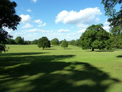
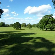
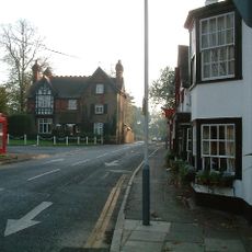
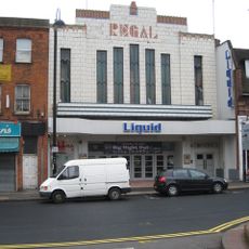
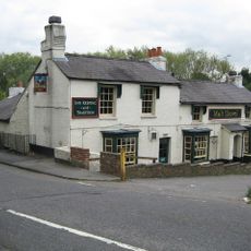
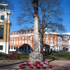
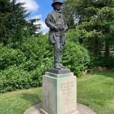
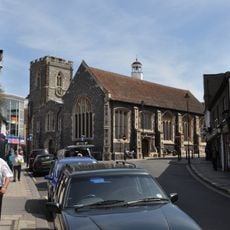
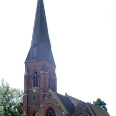
Hillingdon, suburban area within the London Borough of Hillingdon
Location: London Borough of Hillingdon
Shares border with: Northolt
GPS coordinates: 51.53290,-0.45500
Latest update: March 13, 2025 01:26
Battle of Britain Bunker
1.2 km
Hillingdon House
1.3 km
Hillingdon Sports and Leisure Complex
2.2 km
Hillingdon Civic Centre
1.9 km
Hillingdon Court
1.2 km
Red Lion
498 m
Regal Cinema
1.9 km
Malt Shovel
2.1 km
The Angel
1.7 km
Uxbridge War Memorial
2.2 km
Statue of Isambard Kingdom Brunel
1.4 km
Church of St Margaret
2.2 km
Church of St Andrew
1.7 km
Church of St John
415 m
Church of St Laurence
1.4 km
Chapels In Hillingdon Uxbridge Cemetery
778 m
3 K6 Telephone Kiosks Outside Uxbridge London Regional Transport Station
2.2 km
18 And 19, High Street
2.1 km
Bridge Of The Grand Union Canal Adjoining The Shovel Inn
2.2 km
10 and 11, High Street
2.1 km
The Market House
2.2 km
Uxbridge Lido
2.2 km
The Toll House, Cowley Lock
2.2 km
Heinz Administrative Headquarters And Former Research Laboratories
1.7 km
Midland Bank
2.2 km
25-27, High Street
2.2 km
Gateway To Hillingdon Uxbridge Cemetery
784 m
20, High Street
2.1 kmReviews
Visited this place? Tap the stars to rate it and share your experience / photos with the community! Try now! You can cancel it anytime.
Discover hidden gems everywhere you go!
From secret cafés to breathtaking viewpoints, skip the crowded tourist spots and find places that match your style. Our app makes it easy with voice search, smart filtering, route optimization, and insider tips from travelers worldwide. Download now for the complete mobile experience.
A unique approach to discovering new places❞
— Le Figaro
All the places worth exploring❞
— France Info
A tailor-made excursion in just a few clicks❞
— 20 Minutes