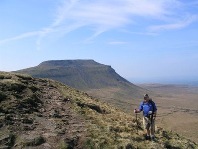
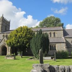
Ingleborough, Mountain summit in Yorkshire Dales, England.
Ingleborough is a mountain summit in the Yorkshire Dales with a distinctive flat-topped profile, limestone cliffs, and a broad plateau at its peak. The landscape offers wide views across the surrounding moorland and clearly shows the geological layers of this limestone region.
The mountain was occupied during the Iron Age, and the summit still shows remains of a hill fort with foundations of circular stone dwellings from ancient settlements. These archaeological traces suggest the peak has been used as both a strategic and residential location for thousands of years.
The mountain forms part of the Yorkshire Three Peaks, a traditional walking route that connects three summits alongside Whernside and Pen-y-ghent and draws walkers from across the region. This route has become a long-standing goal for hikers seeking to complete all three peaks in a single journey.
Several hiking routes approach the summit from nearby villages and adjacent valleys, with each path offering different distances and difficulty levels for various abilities. Choose your route based on your experience and the time of day, as weather at higher elevations can change rapidly.
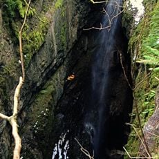
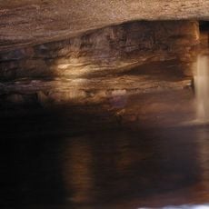
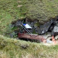
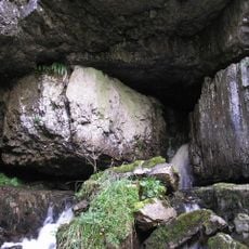
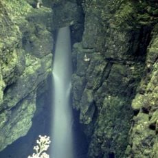
The mountain's limestone structure conceals numerous cave systems and underground passages where surface streams disappear into the rock below. These hidden caverns form a remarkable geological feature that makes the mountain even more complex beneath the surface.
The community of curious travelers
AroundUs brings together thousands of curated places, local tips, and hidden gems, enriched daily by 60,000 contributors worldwide.