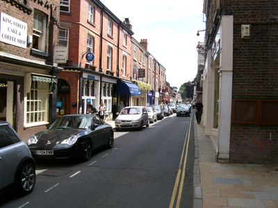
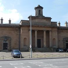
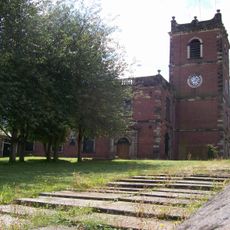
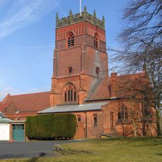
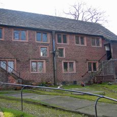
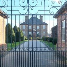
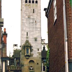
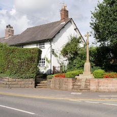
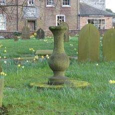
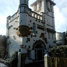
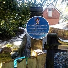
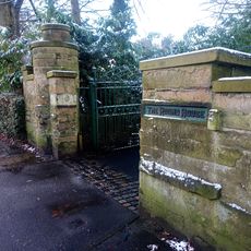
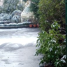
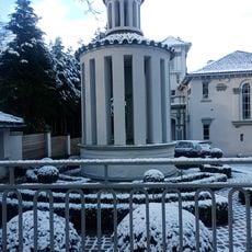
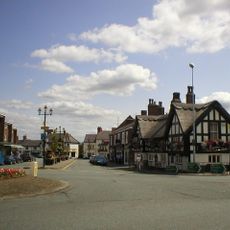
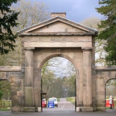
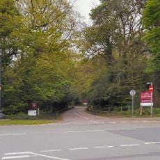
Knutsford, town in Cheshire, England, United Kingdom
Location: Cheshire East
Shares border with: Tatton, Mobberley, Marthall, Ollerton, Toft, Bexton, Tabley Superior, Mere
Website: http://knutsfordtowncouncil.gov.uk
GPS coordinates: 53.30250,-2.37083
Latest update: March 12, 2025 16:29
Sessions House
228 m
St John the Baptist's Church, Knutsford
153 m
Dukenfield Hall
2.2 km
St Cross Church, Knutsford
274 m
Brook Street Chapel, Knutsford
102 m
Bexton Hall
1.6 km
Gaskell Memorial Tower and King's Coffee House
225 m
10A, Princess Street
314 m
8 and 10, Princess Street
306 m
12, Princess Street
320 m
Cemetery Chapel
2.1 km
1 and 2, Church Hill
174 m
Knutsford Library
81 m
Ruskin Rooms
503 m
The White Lion Public House
395 m
Over Knutsford War Memorial
314 m
Sundial in churchyard to south west of Church of St John the Baptist
201 m
High Morland Lodge
630 m
Chantry Dane
680 m
The Old Croft
931 m
The Round House
718 m
Boundary Wall And Entrance Gate Piers To The Round House
737 m
Gazebo In Garden To East Of The Round House
704 m
Heathwaite
524 m
Folly In Garden To South East Of Broad Terraces
716 m
The White Bear Public House
437 m
Knutsford Lodge Gateway and gates to Tatton Park
708 m
Lamp post at the junction of Mereheath Lane and Knutsford Drive
645 mReviews
Visited this place? Tap the stars to rate it and share your experience / photos with the community! Try now! You can cancel it anytime.
Discover hidden gems everywhere you go!
From secret cafés to breathtaking viewpoints, skip the crowded tourist spots and find places that match your style. Our app makes it easy with voice search, smart filtering, route optimization, and insider tips from travelers worldwide. Download now for the complete mobile experience.
A unique approach to discovering new places❞
— Le Figaro
All the places worth exploring❞
— France Info
A tailor-made excursion in just a few clicks❞
— 20 Minutes