Vale Royal, former local government district in Cheshire, England
Location: Cheshire
Website: http://valeroyal.gov.uk
GPS coordinates: 53.25000,-2.60000
Latest update: March 13, 2025 19:26
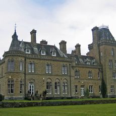
Oakmere Hall
2.5 km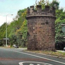
Round Tower Lodge
2.1 km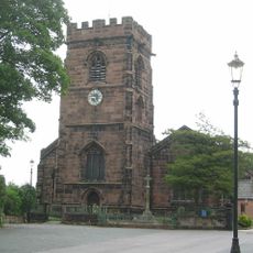
St Mary's Church, Weaverham
2.2 km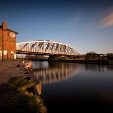
Acton swing bridge
3.3 km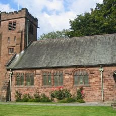
St John the Evangelist's Church, Sandiway
1.7 km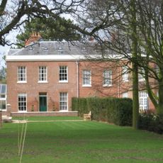
Hefferston Grange
829 m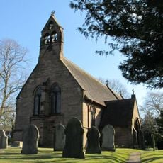
Christ Church, Crowton
2.8 km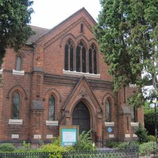
Methodist Church, Weaverham
1.9 km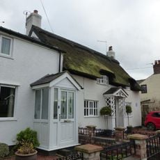
3 and 5, Church Lane
2.2 km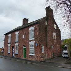
6 and 8, Church Street
2 km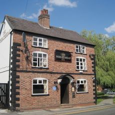
The Wheatsheaf Hotel
1.9 km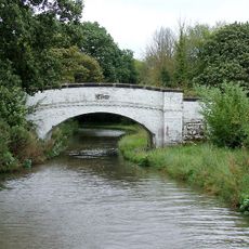
Bradley Meadow Bridge (Canal Bridge Number 206)
2.9 km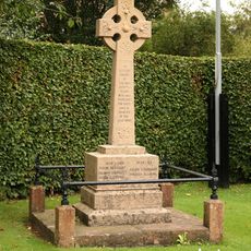
Crowton War Memorial
2.9 km
Poplar Cottage
2 km
Raintub Cottage
2.1 km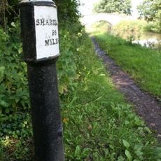
Trent and Mersey Canal, canal milepost south east of bridge number 206 at SJ61017538
2.8 km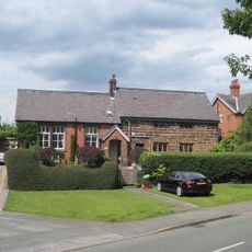
The Old Grammar School
1.6 km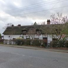
24, West Road
1.6 km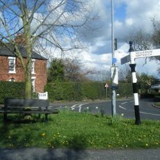
Guidepost at the junction of Cliff Road, Hill Top Road and Acton Lane
2.7 km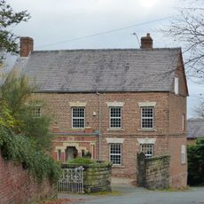
Ivy House
2 km
14 and 16, High Street
1.9 km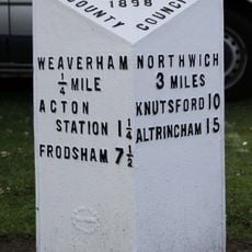
Turnpike Milepost Between Number 453 And Number 455
2.7 km
12, High Street
1.9 km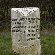
Milepost, N of Merebank
2.4 km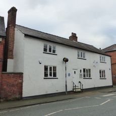
13, High Street
1.9 km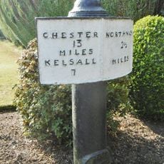
Milepost, Chester Road; half mile W of railway station
2.7 km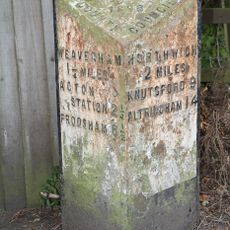
Milepost, W of Hartford beach
2.9 km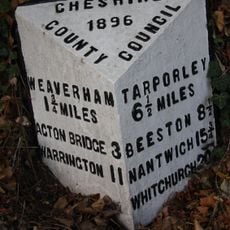
Milepost, by Bryn Works
350 mVisited this place? Tap the stars to rate it and share your experience / photos with the community! Try now! You can cancel it anytime.
Discover hidden gems everywhere you go!
From secret cafés to breathtaking viewpoints, skip the crowded tourist spots and find places that match your style. Our app makes it easy with voice search, smart filtering, route optimization, and insider tips from travelers worldwide. Download now for the complete mobile experience.

A unique approach to discovering new places❞
— Le Figaro
All the places worth exploring❞
— France Info
A tailor-made excursion in just a few clicks❞
— 20 Minutes