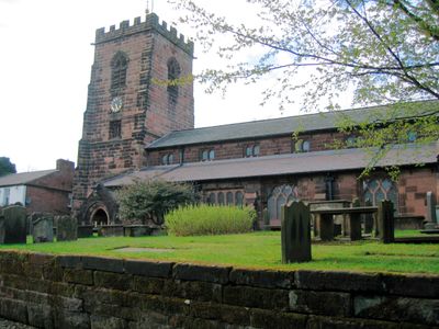
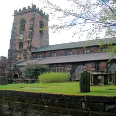
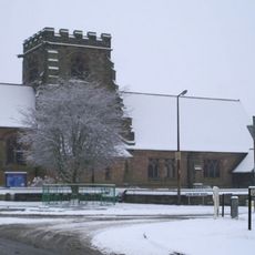
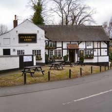
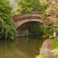
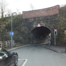
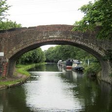
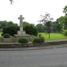
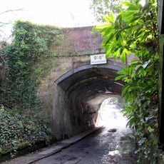
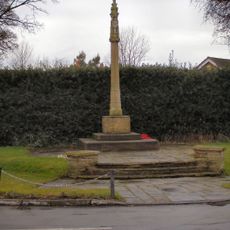
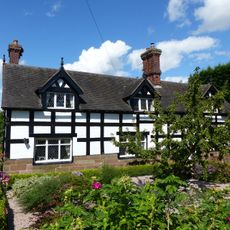
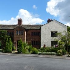
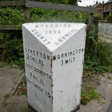
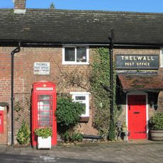
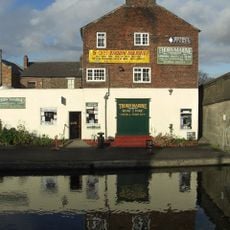
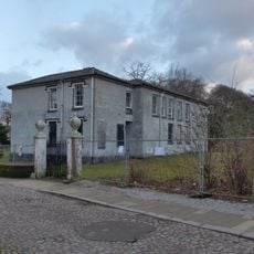
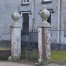
Grappenhall and Thelwall, civil parish in England
Location: Warrington
Inception: 1936
Shares border with: unparished part of Warrington, Woolston, Lymm, Appleton, Stockton Heath
GPS coordinates: 53.36700,-2.54700
Latest update: March 13, 2025 19:31
St Wilfrid's Church, Grappenhall
637 m
Woolston Eyes
3.6 km
St Cross Church, Appleton Thorn
1.9 km
Paddington Meadows
2.5 km
All Saints Church, Thelwall
2.1 km
Chaigeley School
2.6 km
Bridge Stores
635 m
Pickering Arms Inn
2.3 km
Police Station
2.3 km
Bridgewater Canal Church Lane Bridge
647 m
Lumb Brook Bridge (An Aqueduct)
1.5 km
Bridgewater Canal Pickering's Bridge
1.8 km
Thelwall War Memorial
2.3 km
Bridgewater Canal Halfacre Lane Aqueduct
2.2 km
War Memorial
1.8 km
Church Cottage East Church Cottage West
612 m
Old Hall Farmhouse
2.8 km
Thelwall Old Hall
2.4 km
Milestone
2.4 km
K6 telephone kiosk outside Thelwall Post Office
2.4 km
Former Canal Warehouse
2.2 km
Beech Cottage Beech House
2.7 km
Stocks at entrance to St Wilfrid's Churchyard
610 m
Old Village Farm, former barn and attached shippon
2.4 km
Milestone
2.3 km
Grappenhall Rectory
595 m
Pair of gatepiers to yard of Rectory
605 m
Milestone, Chester Road, Lumbrook
1.6 kmReviews
Visited this place? Tap the stars to rate it and share your experience / photos with the community! Try now! You can cancel it anytime.
Discover hidden gems everywhere you go!
From secret cafés to breathtaking viewpoints, skip the crowded tourist spots and find places that match your style. Our app makes it easy with voice search, smart filtering, route optimization, and insider tips from travelers worldwide. Download now for the complete mobile experience.
A unique approach to discovering new places❞
— Le Figaro
All the places worth exploring❞
— France Info
A tailor-made excursion in just a few clicks❞
— 20 Minutes