Warrington, Borough and unitary authority in Cheshire, England
Warrington is a borough in Cheshire that stretches across both sides of the River Mersey, encompassing urban areas, rural zones, and multiple communities. The area connects different settlements into a unified administrative region.
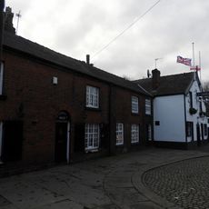
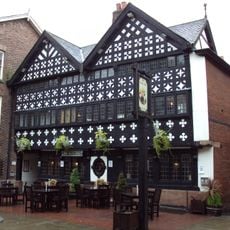
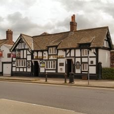
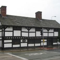
The settlement grew at a crossing point on the River Mersey and was inhabited before Roman times. It later became a medieval market town where tool-making and textile crafts formed the economic foundation.
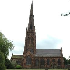
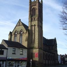
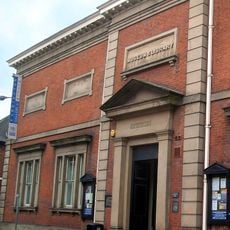
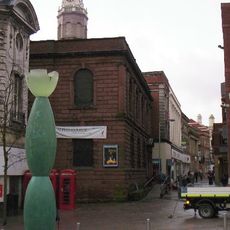
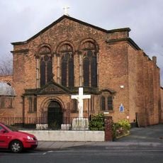
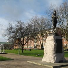
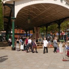
The area houses several museums and arts centers that display local heritage through regular exhibitions and programs. Visitors find diverse cultural offerings throughout the year that shape the artistic life of the community.
The area connects directly to major motorways heading toward Liverpool and Manchester, with two central railway stations offering frequent services to both cities. Getting around by public transport is straightforward and reliable for exploring different parts of the region.
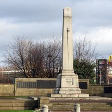
During World War II, the Burtonwood RAF base housed one of the largest United States military air force installations outside North America. This military outpost played a significant role in Allied strategic operations during the conflict.
Location: Cheshire
Inception: April 1, 1974
Shares border with: Wigan
Website: https://warrington.gov.uk
GPS coordinates: 53.38889,-2.59611
Latest update: December 14, 2025 09:42
Halliwell Jones Stadium
681 m
Warrington Transporter Bridge
945 m
Statue of Oliver Cromwell
403 m
St Elphin's Church, Warrington
1.1 km
St Mary's Church, Warrington
492 m
Warrington Town Hall
255 m
Warrington Museum & Art Gallery
200 m
Holy Trinity Church, Warrington
298 m
St Alban's Church, Warrington
461 m
Old St Ann's Church, Warrington
874 m
Roman Catholic Church of the Sacred Heart
726 m
Church of St James
740 m
Unitarian Church
94 m
131 (Now Part Of Ring O' Bells) And 133 (Church House)
1.1 km
Memorial To South Lancashire Regiment In Queen's Gardens
128 m
Warrington Library
214 m
Warrington Cenotaph
516 m
Ye Olde Barley Mow Public House (excluding the side facade)
168 m
Marquis of Granby Public House and Sykes Shoe Repairs
783 m
Entrance Gates, Piers And Lamps
226 m
Fountain In Western Part Of Gardens
138 m
Former Fish Market
142 m
Western Outbuilding To Town Hall
289 m
Cromwell House
868 m
Gateway to Church of St Elphin
1.1 km
Cobbles at entrance to St Elphin's, and pavement
1 km
Lamps On East And West Drives Of Town Hall
270 m
Barclay's Bank
75 mVisited this place? Tap the stars to rate it and share your experience / photos with the community! Try now! You can cancel it anytime.
Discover hidden gems everywhere you go!
From secret cafés to breathtaking viewpoints, skip the crowded tourist spots and find places that match your style. Our app makes it easy with voice search, smart filtering, route optimization, and insider tips from travelers worldwide. Download now for the complete mobile experience.
A unique approach to discovering new places❞
— Le Figaro
All the places worth exploring❞
— France Info
A tailor-made excursion in just a few clicks❞
— 20 Minutes