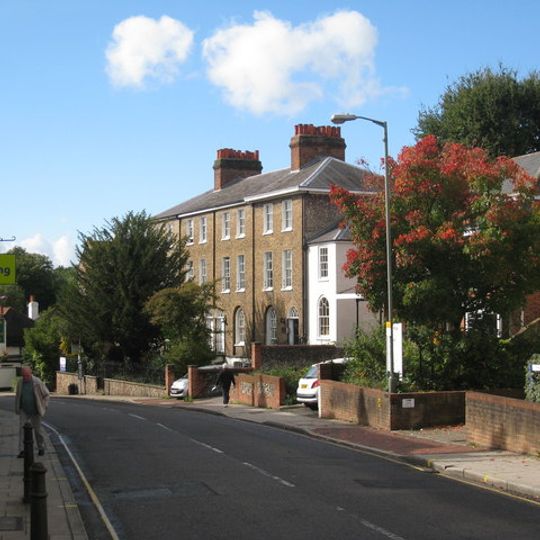
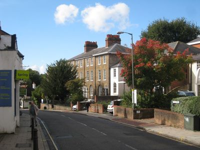
Leatherhead, town in Surrey, England
The community of curious travelers
AroundUs brings together thousands of curated places, local tips, and hidden gems, enriched daily by 60,000 contributors worldwide.

Cherkley Court
2.4 km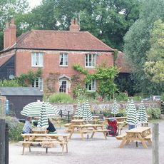
Bocketts Farm
1.8 km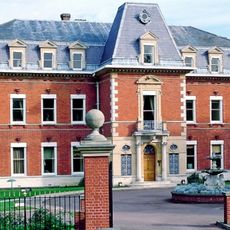
Fetcham Park House
1.8 km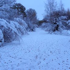
Ashtead Common
3.2 km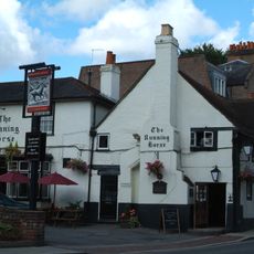
The Running Horse
234 m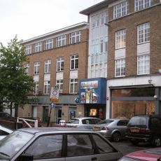
Leatherhead Theatre
33 m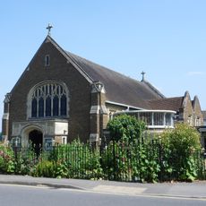
Church of Our Lady and St Peter, Leatherhead
623 m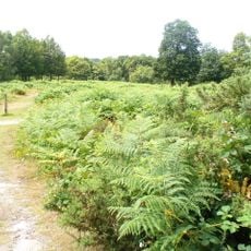
Mole Gap to Reigate Escarpment
2.5 km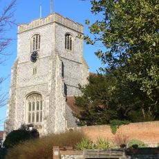
Church of St. Mary & St. Nicholas, Leatherhead
310 m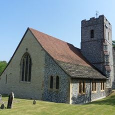
Church of St. Mary, Fetcham
1.9 km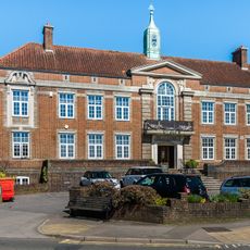
Wesley House, With Steps And Walls To Front
223 m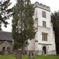
Church of St Giles, Ashtead
3.1 km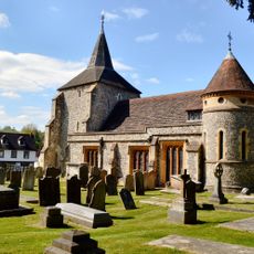
Church of St Michael
3.1 km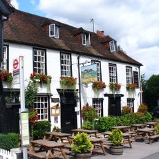
The Running Horses Inn
3.1 km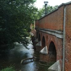
Leatherhead Bridge
327 m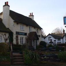
The Anchor Inn
3.1 km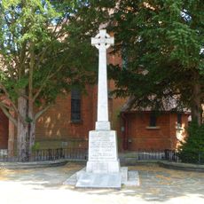
Ashtead War Memorial
2.5 km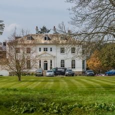
Thorncroft Manor
588 m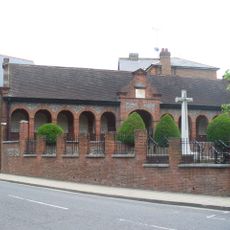
War Memorial
143 m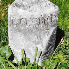
Milestone
765 m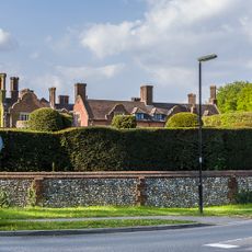
Headley Court And Attached Former Stables
3.2 km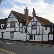
Leatherhead Museum
119 m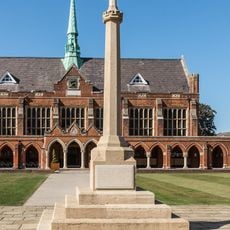
St John's School War Memorial, Leatherhead
452 m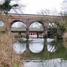
Railway Viaduct Approximately 15 Metres West Of Road Bridge Over River Mole
440 m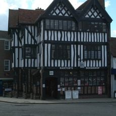
2, Bridge Street
81 m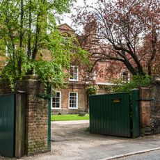
The Old House
2.9 km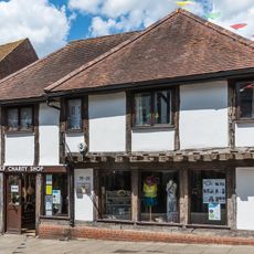
33 And 35, High Street
70 m
Box Hill School
2.9 kmDiscover hidden gems everywhere you go!
From secret cafés to breathtaking viewpoints, skip the crowded tourist spots and find places that match your style. Our app makes it easy with voice search, smart filtering, route optimization, and insider tips from travelers worldwide. Download now for the complete mobile experience.

A unique approach to discovering new places❞
— Le Figaro
All the places worth exploring❞
— France Info
A tailor-made excursion in just a few clicks❞
— 20 Minutes
