
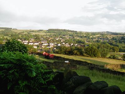
Tansley, village and civil parish in Derbyshire Dales district, Derbyshire, England
Location: Derbyshire Dales
Shares border with: Matlock Town, Dethick, Lea and Holloway, Ashover
Website: http://tansleyvillage.org.uk
GPS coordinates: 53.13213,-1.51750
Latest update: April 29, 2025 15:11
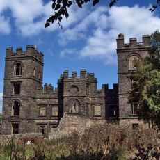
Riber Castle
1.8 km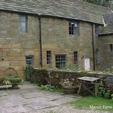
Dethick Manor
1.6 km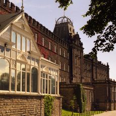
County Hall
2.6 km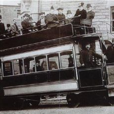
Matlock Cable Tramway
2.5 km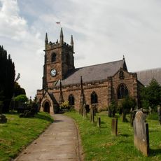
Church of St Giles
2.3 km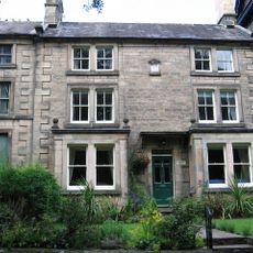
Derwent House, Matlock
2.2 km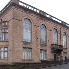
Matlock Town Hall
2.6 km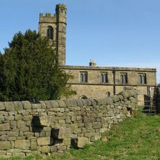
St John the Baptist's Church
1.6 km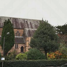
Church of All Saints
2.8 km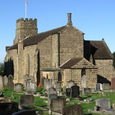
Holy Trinity Church, Tansley
387 m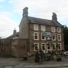
Duke William Inn
2.3 km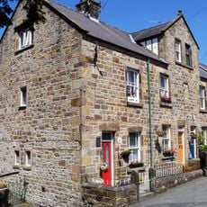
86-92, Church Street
2.3 km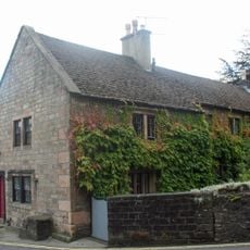
King's Head Inn
2.3 km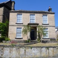
15, Knowlestone Place
2.2 km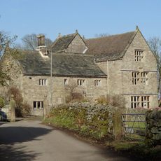
Manor House
1.5 km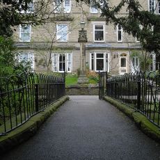
5, Knowlestone Place
2.3 km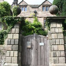
Front garden wall and gate piers of Riber Hall
1.6 km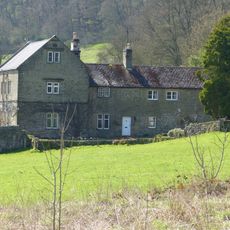
Ravensnest and attached farm buildings Ravensnest and The Beeches
3.2 km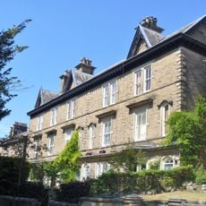
7-13, Knowlestone Place
2.3 km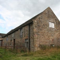
Outbuilding to the north north west of Babington Farmhouse
1.6 km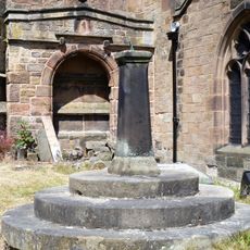
Sundial In St Giles Churchyard
2.3 km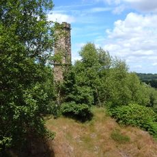
Chimney at Ravensnest
3.1 km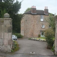
The Rectory
2.4 km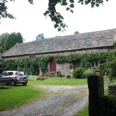
Barn of Riber Hall
1.6 km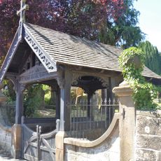
Churchyard Wall And Gatepiers Of St Giles
2.3 km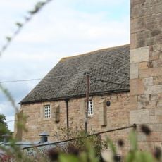
Barn to the north of Church Farmhouse
1.6 km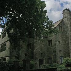
Riber Hall
1.6 km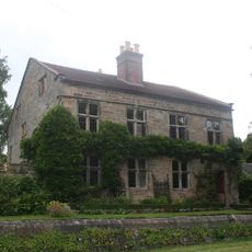
Wheatsheaf Farmhouse
2.4 kmVisited this place? Tap the stars to rate it and share your experience / photos with the community! Try now! You can cancel it anytime.
Discover hidden gems everywhere you go!
From secret cafés to breathtaking viewpoints, skip the crowded tourist spots and find places that match your style. Our app makes it easy with voice search, smart filtering, route optimization, and insider tips from travelers worldwide. Download now for the complete mobile experience.

A unique approach to discovering new places❞
— Le Figaro
All the places worth exploring❞
— France Info
A tailor-made excursion in just a few clicks❞
— 20 Minutes