
Isfield, village in the United Kingdom
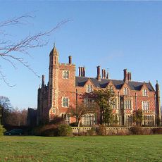
Horsted Place
2.8 km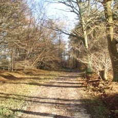
Plashett Park Wood
1.6 km
Copping Hall
5.5 km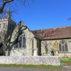
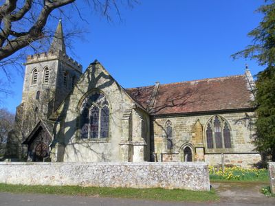
The Parish Church of St Margaret, Isfield
1.7 km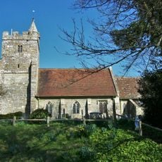
The Parish Church of St Michael and All Angels
2.8 km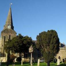
The Parish Church of the Holy Cross
5.4 km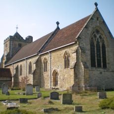
The Parish Church of St Mary
5.1 km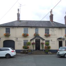
The Crown Hotel
5.4 km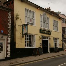
The Maiden's Head Hotel
5.5 km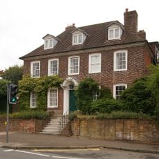
Hooke Hall
5.6 km
Barn And Oasthouse To East Of Vuggles Farmhouse
3.1 km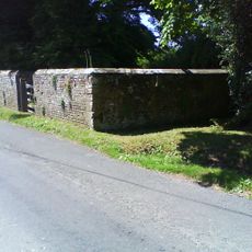
Isfield pound
1.8 km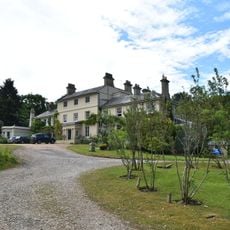
Buckham Hill House
4 km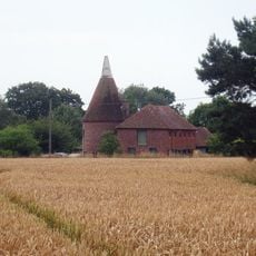
Cart Shed, Granary And Oasthouse To East Of Banks Farmhouse
1.8 km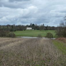
Newick Park
4 km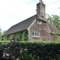
Sharps Bridge House
4.3 km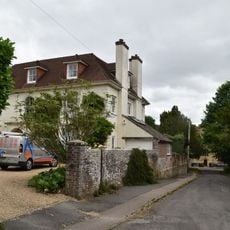
Newick Lodge
5.1 km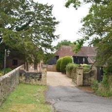
The Barn To The South West Of The Former Stables Of The Old Rectory
5 km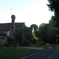
Bradness
2.4 km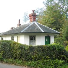
Lichfield
2.8 km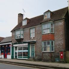
224 And 226, High Street
5.5 km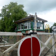
Isfield Signal Box And Railway Level Crossing Gates
646 m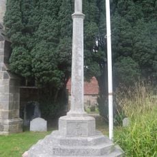
Uckfield War Memorial
5.4 km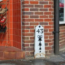
Milepost, High Street jct with Bell Lane, at traffic lights
5.1 km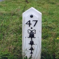
Milepost, jct with Isfield Road, N of the Old Ship PH
960 m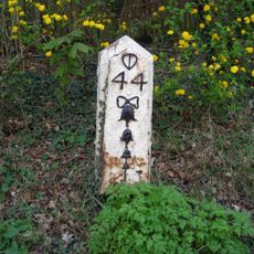
Milepost, Eastbourne Road, between Timberley Gardens and Meadow View
4.6 km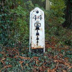
Milepost, Ridgewood, Lewes Road, just S of jct with New Road
4 km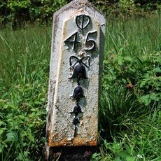
Milepost, High Cross Lake, road to Halland
4.5 kmVisited this place? Tap the stars to rate it and share your experience / photos with the community! Try now! You can cancel it anytime.
Discover hidden gems everywhere you go!
From secret cafés to breathtaking viewpoints, skip the crowded tourist spots and find places that match your style. Our app makes it easy with voice search, smart filtering, route optimization, and insider tips from travelers worldwide. Download now for the complete mobile experience.

A unique approach to discovering new places❞
— Le Figaro
All the places worth exploring❞
— France Info
A tailor-made excursion in just a few clicks❞
— 20 Minutes