
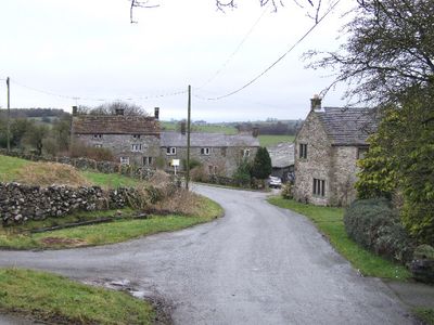
Aldwark, village and civil parish in Derbyshire Dales district, Derbyshire, England
Location: Derbyshire Dales
Shares border with: Brassington, Ivonbrook Grange
GPS coordinates: 53.11312,-1.65987
Latest update: March 25, 2025 22:53

Minninglow
1.9 km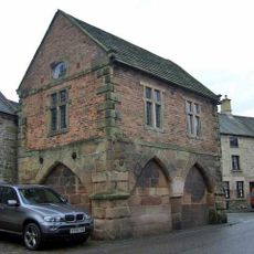
Winster Market House
3.4 km
Duke of York Inn
3.6 km
St John the Baptist's Church, Winster
3.4 km
All Saints' Church, Elton
3.7 km
Green Low chambered tomb
717 m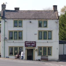
Holly Bush Inn
1.5 km
Harboro' Cave
2.5 km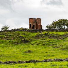
World War Two Observation Post
2.1 km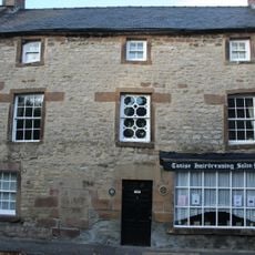
Holmelea
3.4 km
The Youth Hostel
3.6 km
Blackstone's Low bowl barrow
2.7 km
Barker Barn
2.7 km
Railway Bridge
1.7 km
Roystone Grange Farmhouse and barn
2.9 km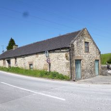
Toll Bar Cowshed
1.5 km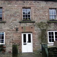
The Old Shoulder Of Mutton Inn
3.3 km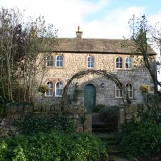
Bank Top Farmhouse
3 km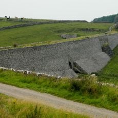
Minninglow Embankment and bridge, High Peak Trail
3.3 km
Holmedene Farmhouse
3.6 km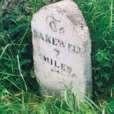
Milepost 400 Yards South West Of Winstermoor Farm
2.2 km
Milepost 300 Yards South Of The Junction Of New Road And Chadwick Hill
3.4 km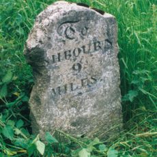
Milepost 300 Yards North Of The Holly Bush Inn
1.6 km
Stables To The West Of The Duke Of York Inn
3.6 km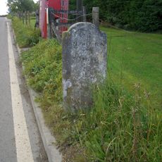
Milestone
1.6 km
Homestead Farmhouse And Homestead Cottage
3.6 km
Milestone, between Grangemill & Longcliffe
930 m
Milestone, a mile SW of Longcliffe, in chicane in road
2.6 kmReviews
Visited this place? Tap the stars to rate it and share your experience / photos with the community! Try now! You can cancel it anytime.
Discover hidden gems everywhere you go!
From secret cafés to breathtaking viewpoints, skip the crowded tourist spots and find places that match your style. Our app makes it easy with voice search, smart filtering, route optimization, and insider tips from travelers worldwide. Download now for the complete mobile experience.

A unique approach to discovering new places❞
— Le Figaro
All the places worth exploring❞
— France Info
A tailor-made excursion in just a few clicks❞
— 20 Minutes