Bestwood St. Albans, former civil parish in Nottinghamshire, UK
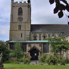
Church of St. Mary Magdalene, Hucknall
2.2 km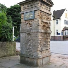
Nuthall Temple
3.5 km
Church of St. Mary the Virgin and All Souls, Bulwell
2.3 km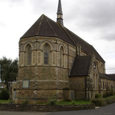
Church of St. John the Divine, Bulwell
1.8 km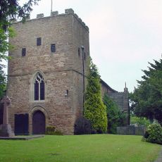
St Patrick's Church, Nuthall
3.6 km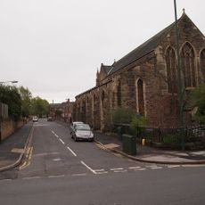
St. Aidan's Church, Basford
3.9 km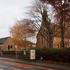
Church of St. John the Evangelist, Hucknall
1.2 km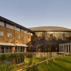
DoubleTree by Hilton Hotel Nottingham - Gateway
3.8 km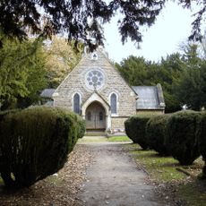
Emmanuel Church
3 km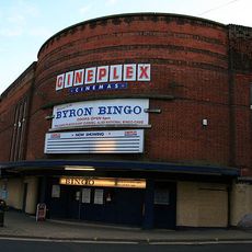
Byron Cinema
1.9 km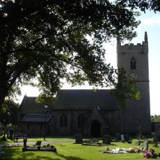
Church of St Michael
3.6 km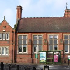
Hucknall Library
2.1 km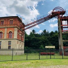
Winding Engine House
1.9 km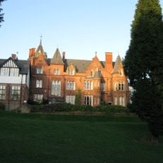
Bestwood Lodge Hotel And Terrace Wall
3.3 km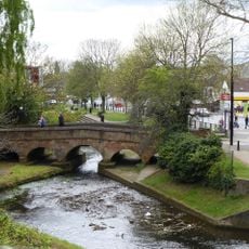
Stone Bridge Spanning River Leen
2.2 km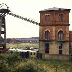
Winding House And Headstocks At Bestwood Colliery
1.9 km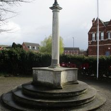
Bestwood War Memorial
1.5 km
The Old Post Office
3.8 km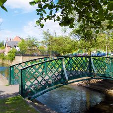
Iron Footbridge Spanning River Lean
2.3 km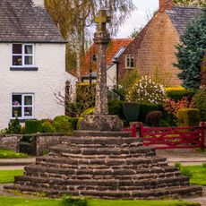
Top Cross
3.8 km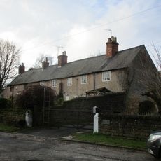
Numbers 5, 6, 7 And Boundary Wall
3.7 km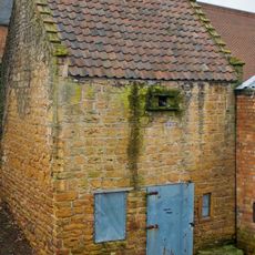
Bulwell Dovecote
2.1 km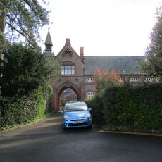
Stable Court At Bestwood Lodge Hotel
3.2 km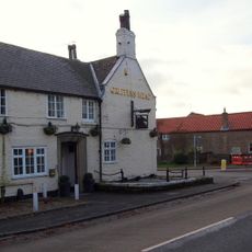
The Griffin's Head
4 km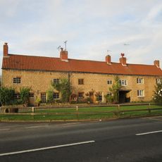
13,14,15,16,17,18,19, Main Street
3.9 km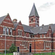
The Clock Tower, formerly the general offices of the Bestwood Coal and Iron Company
1.4 km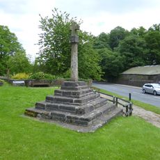
Standing cross known as Bottom Cross
3.9 km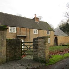
Number 21 And Adjoining Outbuilding
3.9 kmVisited this place? Tap the stars to rate it and share your experience / photos with the community! Try now! You can cancel it anytime.
Discover hidden gems everywhere you go!
From secret cafés to breathtaking viewpoints, skip the crowded tourist spots and find places that match your style. Our app makes it easy with voice search, smart filtering, route optimization, and insider tips from travelers worldwide. Download now for the complete mobile experience.

A unique approach to discovering new places❞
— Le Figaro
All the places worth exploring❞
— France Info
A tailor-made excursion in just a few clicks❞
— 20 Minutes