
Clotton Hoofield, civil parish in Cheshire West and Chester, Cheshire, England
Location: Cheshire West and Chester
Shares border with: Willington, Utkinton and Cotebrook, Tarporley, Tiverton and Tilstone Fearnall, Hargrave and Huxley, Duddon and Burton
GPS coordinates: 53.15800,-2.72800
Latest update: March 3, 2025 13:49
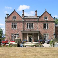
Willington Hall
3.9 km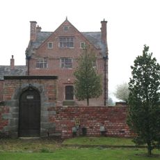
Burton Hall
1.5 km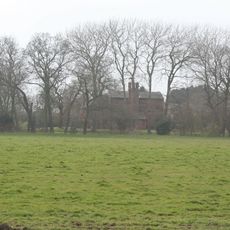
Lower Huxley Hall
1.7 km
Duddon Old Hall
2.1 km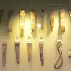
Huxley Hoard
1.3 km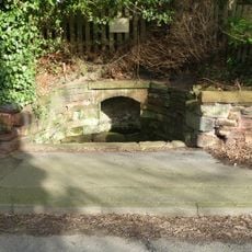
Salters Well
3.8 km
32 High Street, Tarporley
3.9 km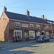
The Rising Sun
3.9 km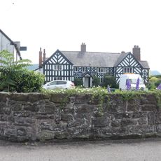
Brassey Green Hall
2.5 km
16, Northgate
4.4 km
31, High Street
4 km
Garden walls and gate piers to Rode Street House
3 km
Birch Heath Farmhouse
3.4 km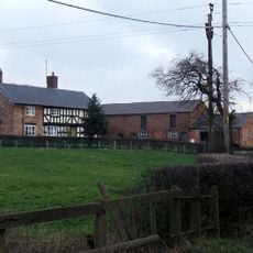
Brook House Farmhouse
2.1 km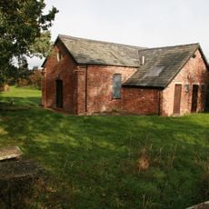
Brassey Green Baptist Chapel
2.3 km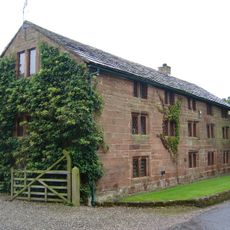
The Bailiff's House
4.3 km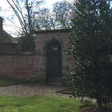
Garden wall and gateway at Burton Hall
1.4 km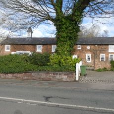
Coach House at Salters Well House
3.7 km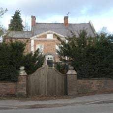
Rode Street House
3 km
31, 33 and 35, Forest Road
4 km
25–29, High Street
4 km
Done Recreation Room
3.9 km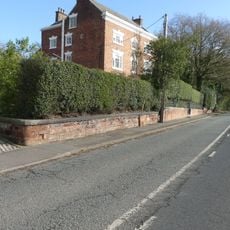
Wall, gate and screen of railings before Salters Well House
3.8 km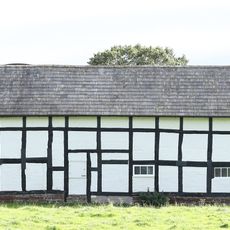
Barn at Brassey Green Hall
2.4 km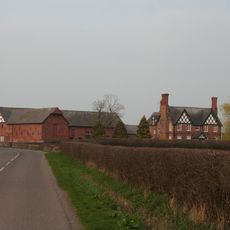
Hoofield Hall
267 m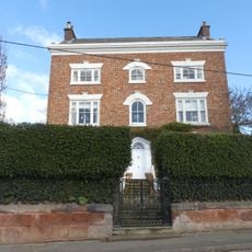
Salters Well House
3.8 km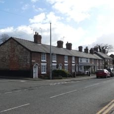
17–21, High Street
4 km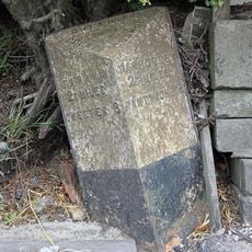
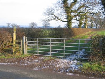
Milepost, Yewtree Farm
1.9 kmReviews
Visited this place? Tap the stars to rate it and share your experience / photos with the community! Try now! You can cancel it anytime.
Discover hidden gems everywhere you go!
From secret cafés to breathtaking viewpoints, skip the crowded tourist spots and find places that match your style. Our app makes it easy with voice search, smart filtering, route optimization, and insider tips from travelers worldwide. Download now for the complete mobile experience.

A unique approach to discovering new places❞
— Le Figaro
All the places worth exploring❞
— France Info
A tailor-made excursion in just a few clicks❞
— 20 Minutes