
Little Brickhill, village and civil parish in Buckinghamshire, UK
Location: City of Milton Keynes
GPS coordinates: 51.98300,-0.67700
Latest update: March 2, 2025 23:29

Stockgrove Country Park
3.4 km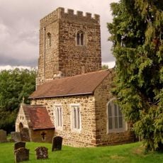
Church of All Saints
2 km
Kings and Bakers Woods and Heaths
3 km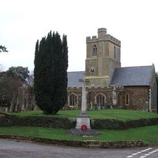
St Mary the Virgin, Great Brickhill
1.9 km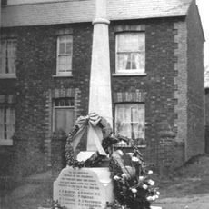
Bow Brickhill War Memorial
2.2 km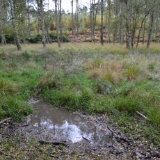
Wavendon Heath Ponds
2.5 km
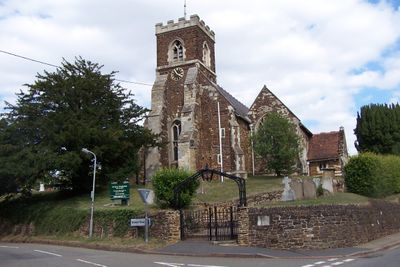
Church of St Mary Magdalen
78 m
Church of St Martin
3.2 km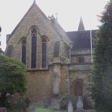
Church of Saint Michael
3.5 km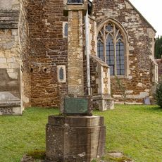
Little Brickhill War Memorial
57 m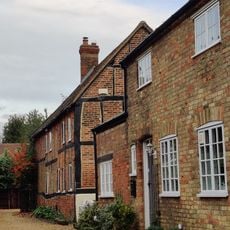
Manor Farmhouse
3.1 km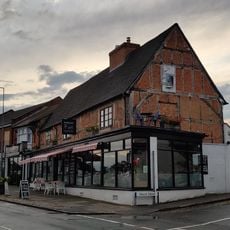
59, Aylesbury Street
3.2 km
The Green Man Public House
103 m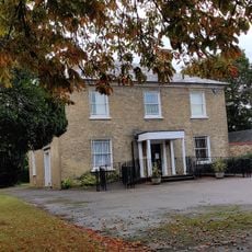
Bracknell House
3.2 km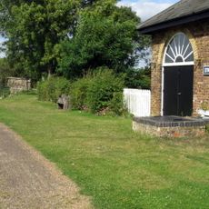
Grand Union Canal Pumping Station To East Of Lock 23
3.3 km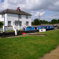
Grand Union Canal Talbot's Canal Lock 23 Grand Union Canal
3.4 km
Canal Bridge
2.8 km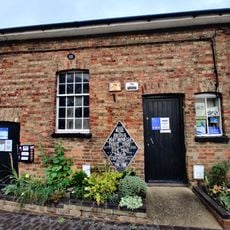
Pump House
3.2 km
43, Aylesbury Street
3.2 km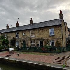
Lock View Pine View
3.2 km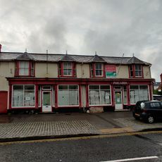
49 And 51, Aylesbury Street
3.2 km
Moated site known as `The Hoult' and associated field system
3.1 km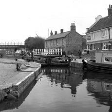
Lock
3.2 km
11 And 13, Watling Street
3.1 km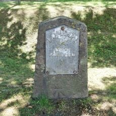
Milestone, Watling Street; between river bridge and canal bridge, opp. Attic Restaurant
2.9 km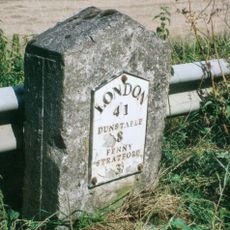
Milestone, Main Road; 50m NW of lane to Rammamere Farm and half mile NW of County Boundary, SE of Little Brickhill turn
1.9 km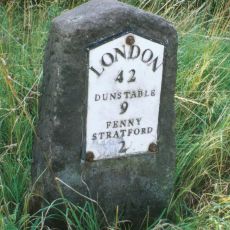
Milestone, north-bound carriageway, just before slip road to Little Brickhill
1 km
Milestone, south-bound carriageway, in lay-by W of Glebe Farm, 400m E of roundabout
1.1 kmVisited this place? Tap the stars to rate it and share your experience / photos with the community! Try now! You can cancel it anytime.
Discover hidden gems everywhere you go!
From secret cafés to breathtaking viewpoints, skip the crowded tourist spots and find places that match your style. Our app makes it easy with voice search, smart filtering, route optimization, and insider tips from travelers worldwide. Download now for the complete mobile experience.

A unique approach to discovering new places❞
— Le Figaro
All the places worth exploring❞
— France Info
A tailor-made excursion in just a few clicks❞
— 20 Minutes