
Borrowby, village and civil parish in Hambleton, North Yorkshire, England
The Manor House
5.7 km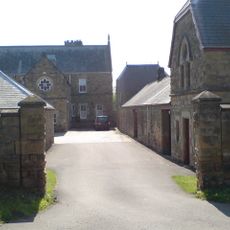
Upsall Castle
3.4 km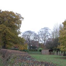
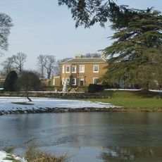
Otterington Hall
5.5 km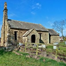
Thornton-le-Beans Chapel
3.5 km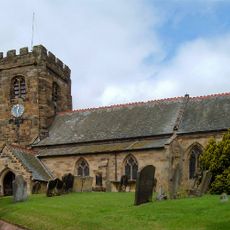
St John the Baptist's Church
6.8 km
Sigston Castle:
6 km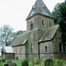
Church of St Michael and All Angels
3.7 km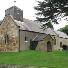
Church of St Wilfrid
5.2 km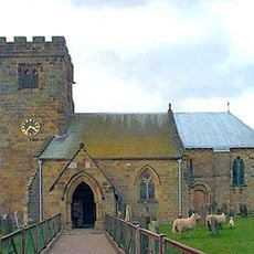
Church of St Felix
6 km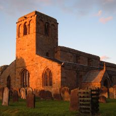
Church of St Mary
1.5 km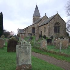
Church of St Michael
6.6 km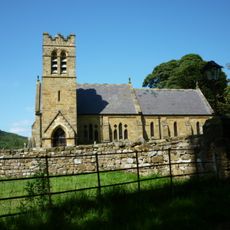
Church of St Wilfrid
4.4 km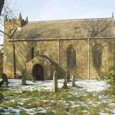
Church of St Lawrence, Kirby Sigston
5.6 km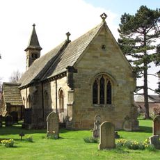
Church of St Leonard
3.3 km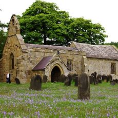
Church of St Mary
4.8 km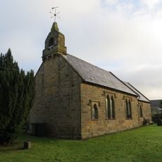
Church of All Saints
4.1 km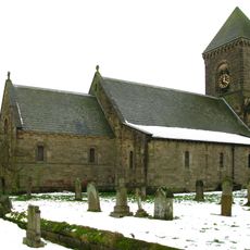
Church of St Andrew
5.9 km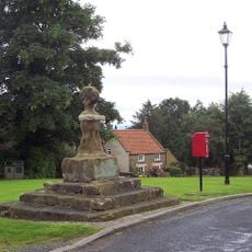
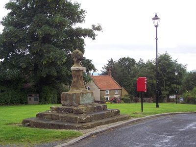
Village Cross
68 m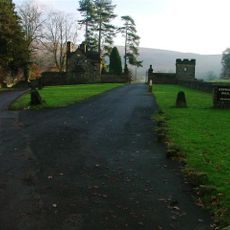
Kepwick Hall With Attached Service Wing And Coach House
5.2 km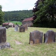
Group Of Font And Two Cross Bases With Shafts Approximately 5 Metres To South West Of Porch Of Church Of St Wilfrid
4.5 km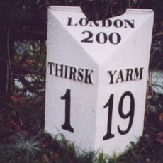
Mile Post Outside Burniston
6.4 km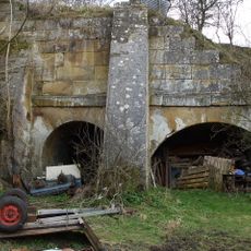
Lime kilns 400m south west of Furlands
1.4 km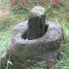
Wayside cross 600m east of Gallow Hill, known as Friar's Cross
6 km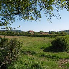
Nevison House
5.2 km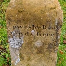
Boundary Stone On East Side Of Junction With Cophill Lane
1.2 km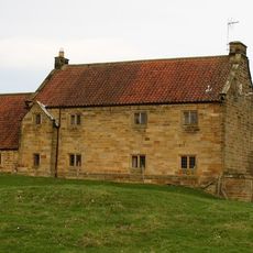
Manor Farmhouse and Attached Stable Block
4.1 km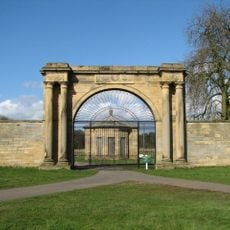
West Lodge Gateway To Thornton Stud With Flanking Walls, Gate, Railings And End Piers
5.9 km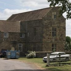
Leake Hall
1.4 kmReviews
Visited this place? Tap the stars to rate it and share your experience / photos with the community! Try now! You can cancel it anytime.
Discover hidden gems everywhere you go!
From secret cafés to breathtaking viewpoints, skip the crowded tourist spots and find places that match your style. Our app makes it easy with voice search, smart filtering, route optimization, and insider tips from travelers worldwide. Download now for the complete mobile experience.

A unique approach to discovering new places❞
— Le Figaro
All the places worth exploring❞
— France Info
A tailor-made excursion in just a few clicks❞
— 20 Minutes