
Ardington, village and civil parish in Vale of White Horse, Oxfordshire, England
Location: Vale of White Horse
Shares border with: Lockinge, East Hanney, West Hendred, Steventon
Website: http://whitehorsedc.moderngov.co.uk/mgParishCouncilDetails.aspx?ID=253
GPS coordinates: 51.59300,-1.37700
Latest update: March 11, 2025 02:36
The Ridgeway
3.8 km
Scutchamer Knob
4.1 km
Lockinge Estate
393 m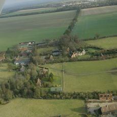
Ginge Manor
2.4 km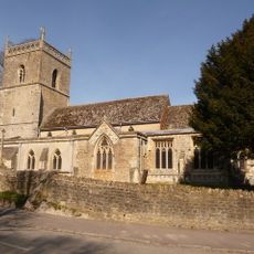
Church of St Augustine of Canterbury
2.7 km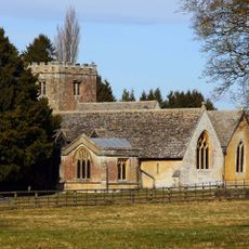
Church of All Saints
1.3 km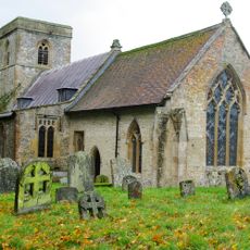
Church of the Holy Trinity
1.5 km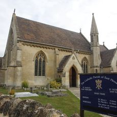
Roman Catholic Church of Saint Mary, East Hendred
2.8 km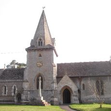
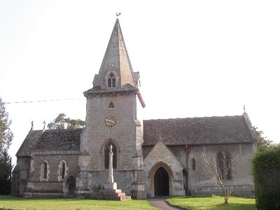
Church of the Holy Trinity
140 m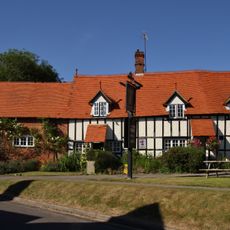
The Wheatsheaf Public House
2.8 km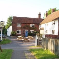
Eyston Arms Public House
2.8 km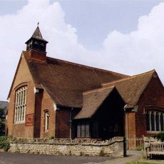
Holy Trinity Church
2.3 km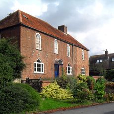
Parsonage Farmhouse
2.1 km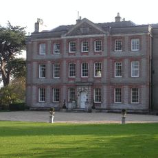
Ardington House
150 m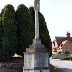
Lockinge War Memorial
1.2 km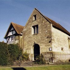
Jesus Chapel And Attached House
2.8 km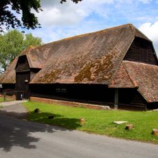
Lain's Barn
1.1 km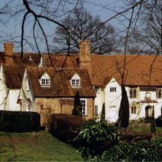
Hendred House And St Amands Chapel
2.8 km
Scutchamore Knob
4.1 km
Godfreys Farm
2.8 km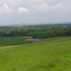
Grim's Ditch; section S of Tile Barn
3.7 km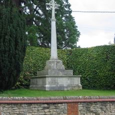
Ardington War Memorial
154 m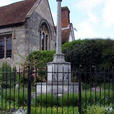
East Hendred War Memorial
2.8 km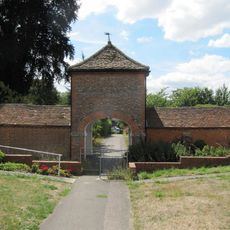
Stabling At Stirlings (Demolished)
3.1 km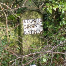
Milestone, Reading Road; W of the Hare PH
1.2 km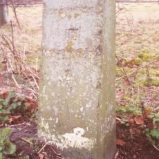
Milestone, Portway; E of Lain's Barn turn
659 m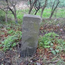
Milestone, Reading Road; opp. White Road
3 km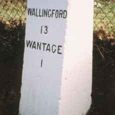
Milestone, Portway; E of Charlton village turn, 30m W of barnyard
2.1 kmVisited this place? Tap the stars to rate it and share your experience / photos with the community! Try now! You can cancel it anytime.
Discover hidden gems everywhere you go!
From secret cafés to breathtaking viewpoints, skip the crowded tourist spots and find places that match your style. Our app makes it easy with voice search, smart filtering, route optimization, and insider tips from travelers worldwide. Download now for the complete mobile experience.

A unique approach to discovering new places❞
— Le Figaro
All the places worth exploring❞
— France Info
A tailor-made excursion in just a few clicks❞
— 20 Minutes