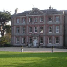
Lockinge Estate, Victorian country estate in South Oxfordshire, England
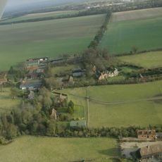
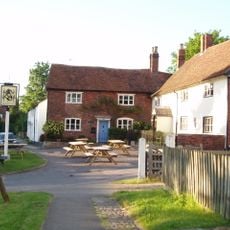
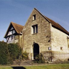
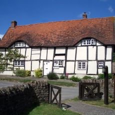
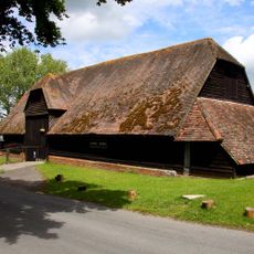
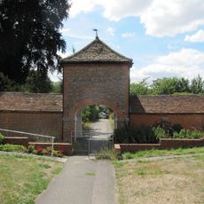
Lockinge Estate is a country estate encompassing farmland, residential properties, and business facilities in South Oxfordshire. The site features converted Victorian farm buildings alongside modern office spaces that serve various tenants and uses.
The estate grew into one of England's largest through major land purchases between 1859 and 1870 under Lord and Lady Wantage. This period of expansion shaped the property into its current form and scope.
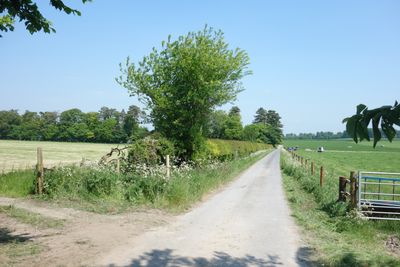
The estate is known for its network of walking and riding paths that connect residents to woodlands and farmland. These routes are woven into daily life and reflect how the community relates to the working countryside.
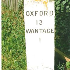
The estate benefits from good road access via the A34, M4, and M40 motorways, with Didcot Parkway railway station located nearby. Visitors should note that much of the property is private and access may be limited to designated public routes.
The estate is home to a specialized joinery workshop that produces custom woodwork including traditional windows, cabinetry, and furniture. This working craft tradition reflects how heritage skills continue to operate within the modern property.
Location: England
GPS coordinates: 51.59000,-1.38000
Latest update: December 14, 2025 09:42
Statue of Alfred the Great
3.2 km
Old Town Hall, Wantage
3.2 km
Ginge Manor
2.3 km
Church of St Augustine of Canterbury
2.9 km
Church of All Saints
910 m
Church of the Holy Trinity
1.7 km
The Kings Arms Public House
3 km
Roman Catholic Church of Saint Mary, East Hendred
3.1 km
Church of the Holy Trinity
258 m
The Bear Hotel
3.3 km
The Wheatsheaf Public House
3.1 km
Eyston Arms Public House
3.1 km
Holy Trinity Church
2.1 km
Parsonage Farmhouse
2 km
Hendred House And St Amands Chapel
3.1 km
Jesus Chapel And Attached House
3.1 km
Godfreys Farm
3 km
Lockinge War Memorial
857 m
Lain's Barn
1.2 km
Ardington House
312 m
Milestone At Su 4012 8943
3.2 km
Ardington War Memorial
276 m
East Hendred War Memorial
3.1 km
Milestone, Reading Road; W of the Hare PH
1.6 km
Stabling At Stirlings (Demolished)
2.9 km
Milestone, Portway; E of Lain's Barn turn
734 m
Milestone, Reading Road; opp. White Road
3.3 km
Milestone, Portway; E of Charlton village turn, 30m W of barnyard
1.8 kmVisited this place? Tap the stars to rate it and share your experience / photos with the community! Try now! You can cancel it anytime.
Discover hidden gems everywhere you go!
From secret cafés to breathtaking viewpoints, skip the crowded tourist spots and find places that match your style. Our app makes it easy with voice search, smart filtering, route optimization, and insider tips from travelers worldwide. Download now for the complete mobile experience.
A unique approach to discovering new places❞
— Le Figaro
All the places worth exploring❞
— France Info
A tailor-made excursion in just a few clicks❞
— 20 Minutes