
South Hanningfield, village and civil parish in Essex, UK
Location: Chelmsford
Website: http://essexinfo.net/south-hanningfield-village
GPS coordinates: 51.65040,0.51830
Latest update: March 7, 2025 19:27
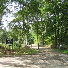
Norsey Wood
6 km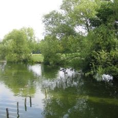
Lake Meadows
7.2 km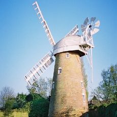
Stock Windmill
4.5 km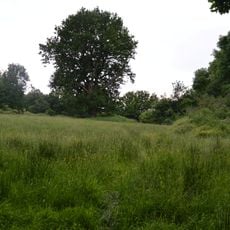
Mill Meadows, Billericay
7.2 km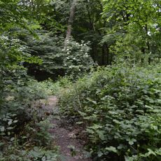
Crowsheath Wood
2 km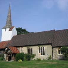
Church of All Saints
5.6 km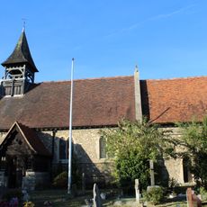
Church of St Catherine
4.3 km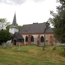
Church of St Mary and St Edward
2.3 km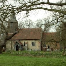
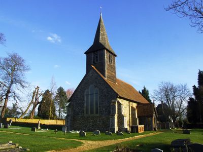
Church of St Peter
447 m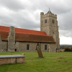
Church of All Saints
3.2 km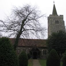
Church of St Mary
3.4 km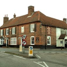
The Cock Inn
5.5 km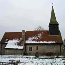
Church of St Mary
5.5 km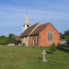
Church of St Mary
4.1 km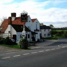
The Three Compasses Public House
2.7 km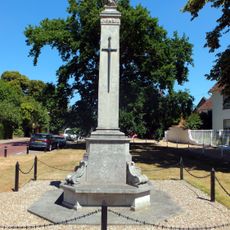
Stock and Buttsbury War Memorial
5.3 km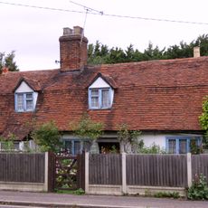
34, London Road
4.3 km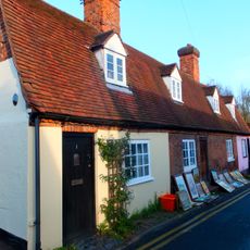
1-5, Norsey Road
7.3 km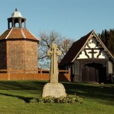
Downham War Memorial
2.7 km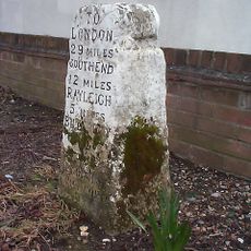
Milestone At Junction Of London Road And Nevendon Road
4.4 km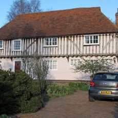
Gascoignes Farmhouse
2.6 km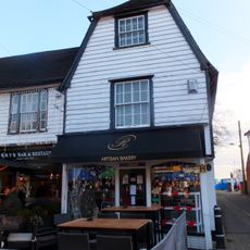
40, High Street
7.4 km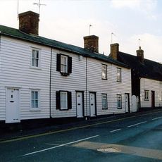
6, 8 And 10, Norsey Road
7.3 km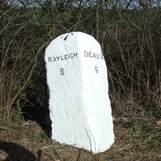
Milestone At Tq 7599
2.3 km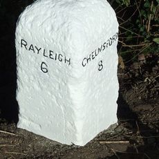
Milestone At Tq 7796
2.8 km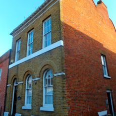
24, High Street
7.4 km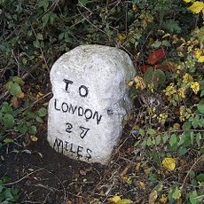
Milestone, Crays Hill
5.9 km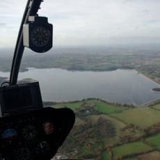
Hanningfield Reservoir
1.3 kmVisited this place? Tap the stars to rate it and share your experience / photos with the community! Try now! You can cancel it anytime.
Discover hidden gems everywhere you go!
From secret cafés to breathtaking viewpoints, skip the crowded tourist spots and find places that match your style. Our app makes it easy with voice search, smart filtering, route optimization, and insider tips from travelers worldwide. Download now for the complete mobile experience.

A unique approach to discovering new places❞
— Le Figaro
All the places worth exploring❞
— France Info
A tailor-made excursion in just a few clicks❞
— 20 Minutes