
Stanton-by-Dale, village and civil parish in Erewash District, Derbyshire, England
Location: Erewash
Shares border with: Ilkeston, Dale Abbey, Risley, Sandiacre
GPS coordinates: 52.94000,-1.31000
Latest update: March 7, 2025 17:36
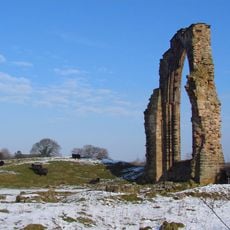
Dale Abbey
2.8 km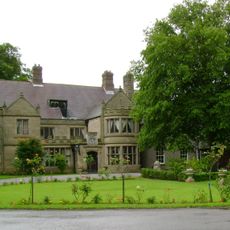
Risley Hall, Derbyshire
2.8 km
Church of St Giles
1.8 km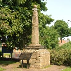
Stapleford Cross
2.6 km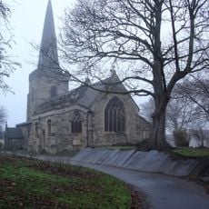
St. Helen's Church, Stapleford
2.6 km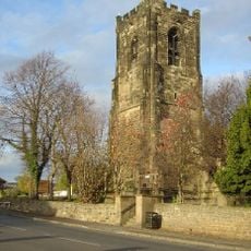
St Helen's Church, Trowell
2.4 km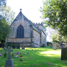
Church of All Saints
2.3 km
St. Luke's Church, Stapleford
2.2 km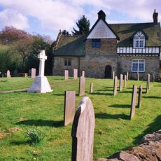
Church of All Saints Vergers Farmhouse
2.7 km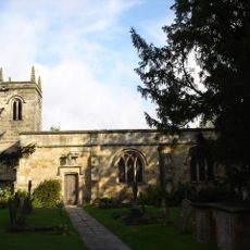
Church of All Saints
2.6 km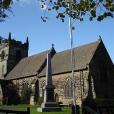
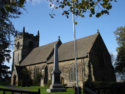
Church of St Michael and All Angels
145 m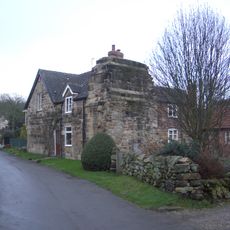
Outbuilding To West Of Former Methodist Chapel
2.9 km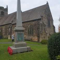
Stanton-By-Dale War Memorial
164 m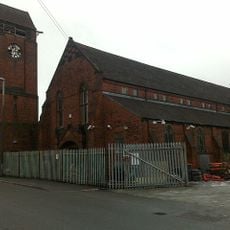
Tower Of St Bartholomews Church
1.8 km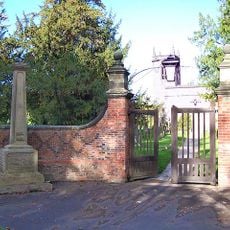
Churchyard walls, gates and war memorial to south of All Saints Church
2.7 km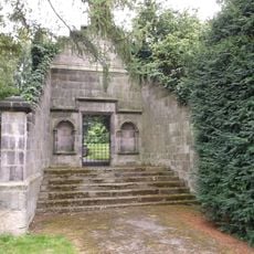
Balustrades, gateway and bridge on terrace to south east of Risley Hall
2.8 km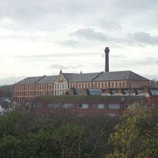
Springfield Mill Factory And Chimney
2.3 km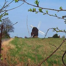
Cat and Fiddle Mill
3.1 km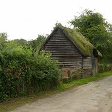
Thatched Barn
2.9 km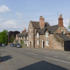
16–24, Stanhope Street
258 m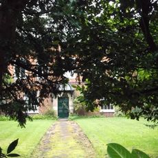
The Old School House
2.6 km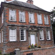
Latin House
2.6 km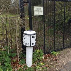
Bobbin Milepost East Of Risley Grammar School (Sk 4635 3574)
2.6 km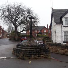
Village Cross
306 m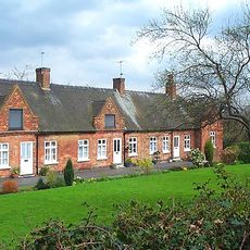
Middlemores Almshouses
172 m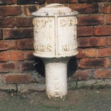
Bobbin Milepost To South Of Number 103 At Sk 4761 3640
2.2 km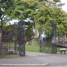
Gates And Gatepiers At Church Of St Helen
2.6 km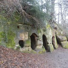
Hermitage 170m south east of All Saints Church
2.6 kmVisited this place? Tap the stars to rate it and share your experience / photos with the community! Try now! You can cancel it anytime.
Discover hidden gems everywhere you go!
From secret cafés to breathtaking viewpoints, skip the crowded tourist spots and find places that match your style. Our app makes it easy with voice search, smart filtering, route optimization, and insider tips from travelers worldwide. Download now for the complete mobile experience.

A unique approach to discovering new places❞
— Le Figaro
All the places worth exploring❞
— France Info
A tailor-made excursion in just a few clicks❞
— 20 Minutes